|
|
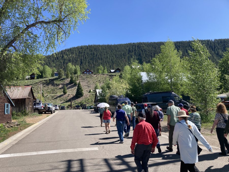
2025 Mining History Association
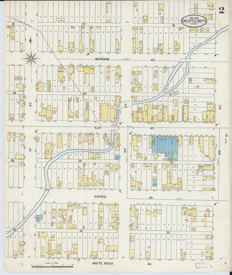
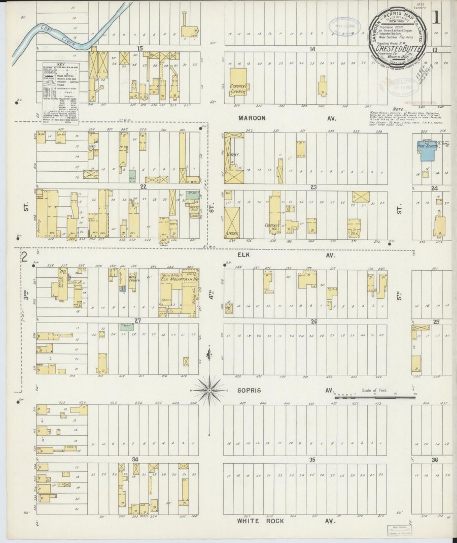
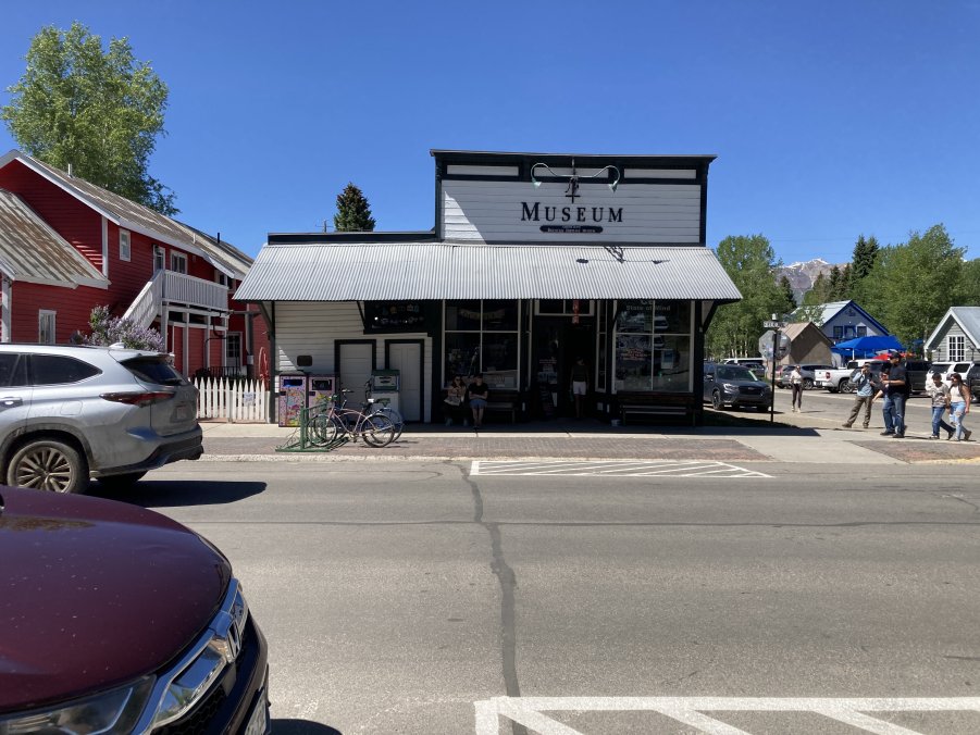
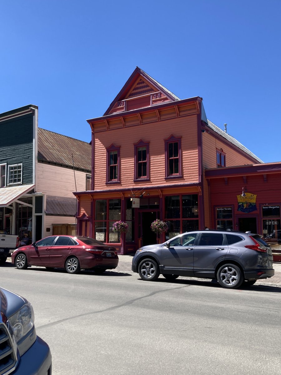
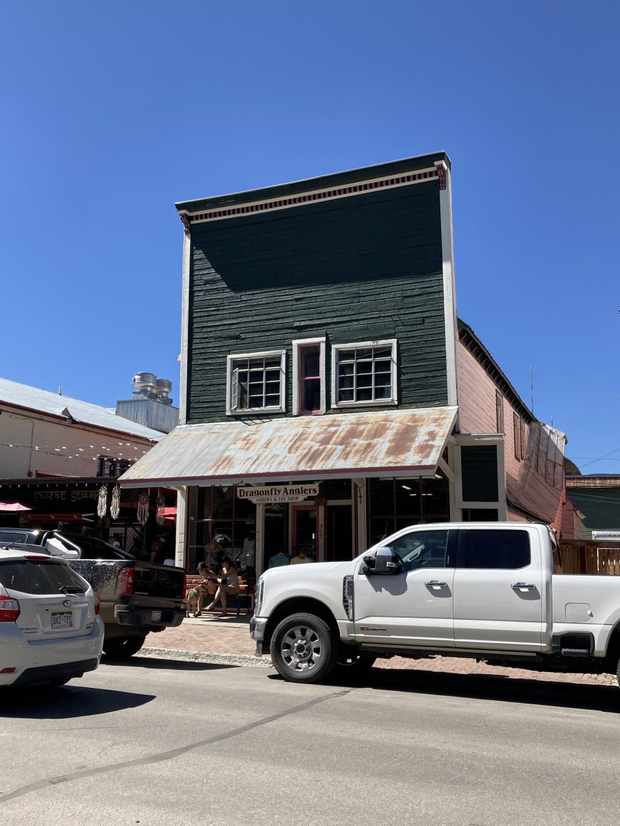
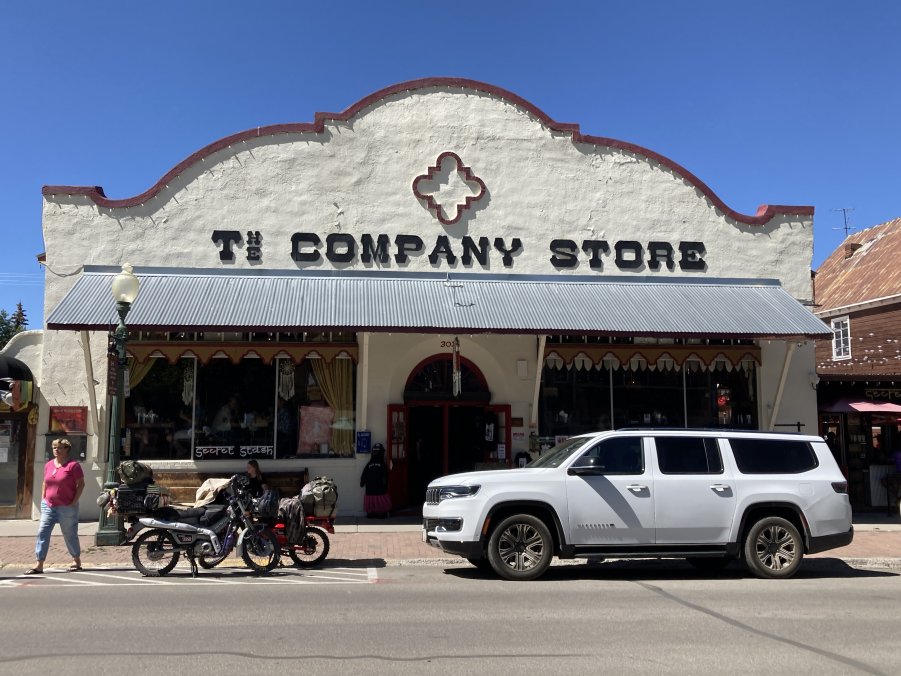
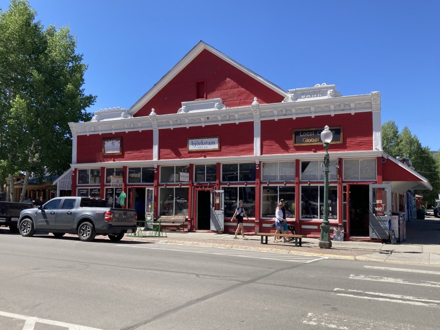
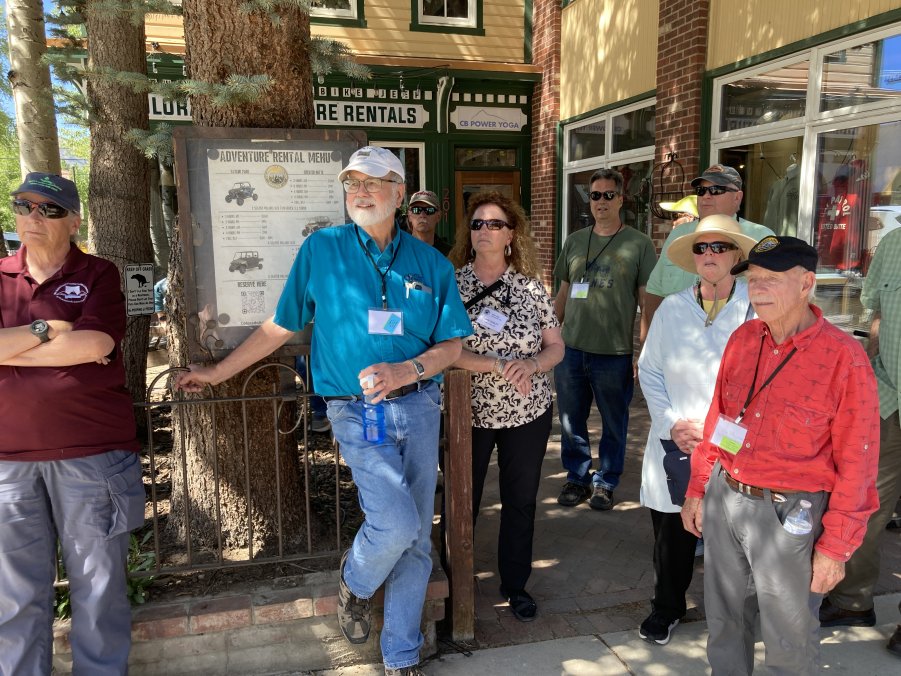
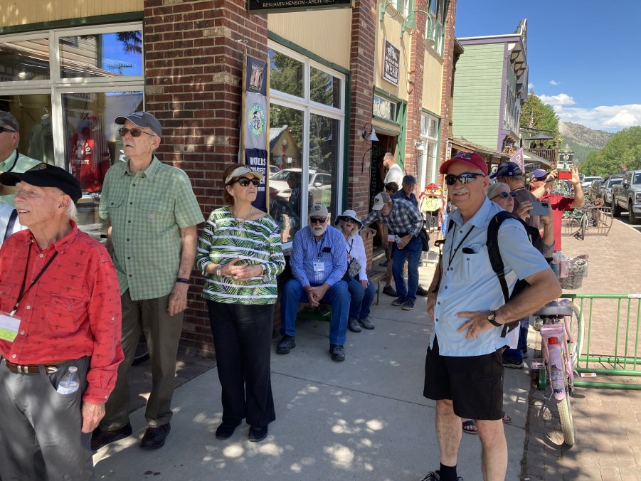
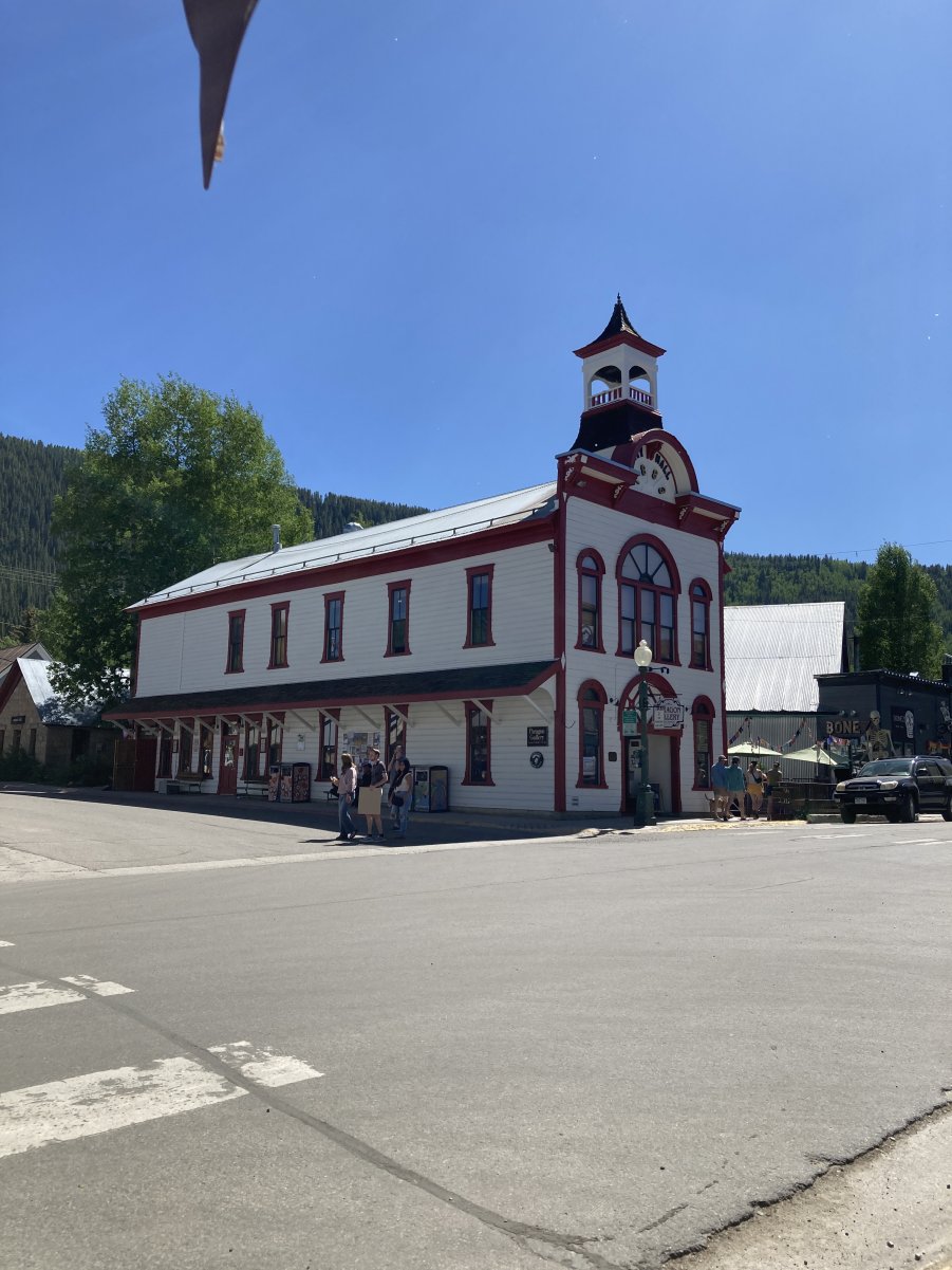
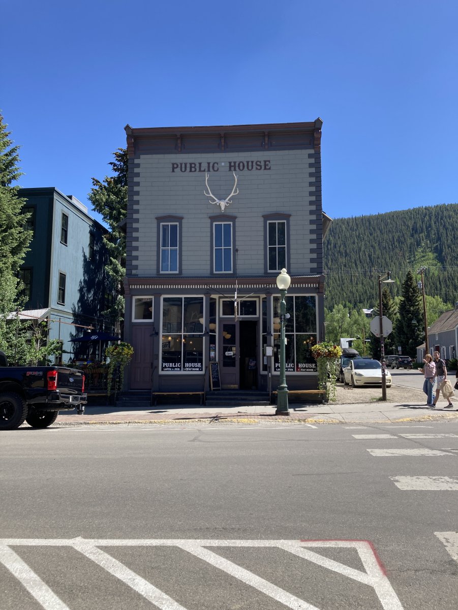
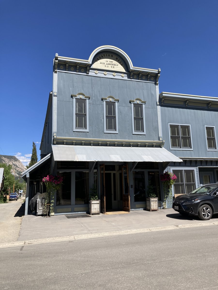
Crested Butte Walking Tour
Tour Leader, Elise Park
Crested Butte, Colorado
June 14, 2025, 2:00PM to 5:00PM
PHOTO GALLERY CLICK ON A PHOTO TO DISPLAY A LARGER IMAGE
| ||||||||||||||||
Photos courtesy of Mike Kaas
CLICK HERE FOR GALLERY 2 CLICK HERE TO RETURN TO THE GUNNISON MEETING PAGE
|