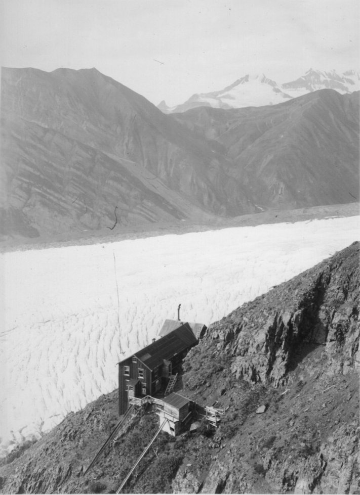
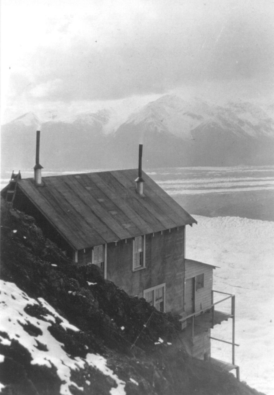
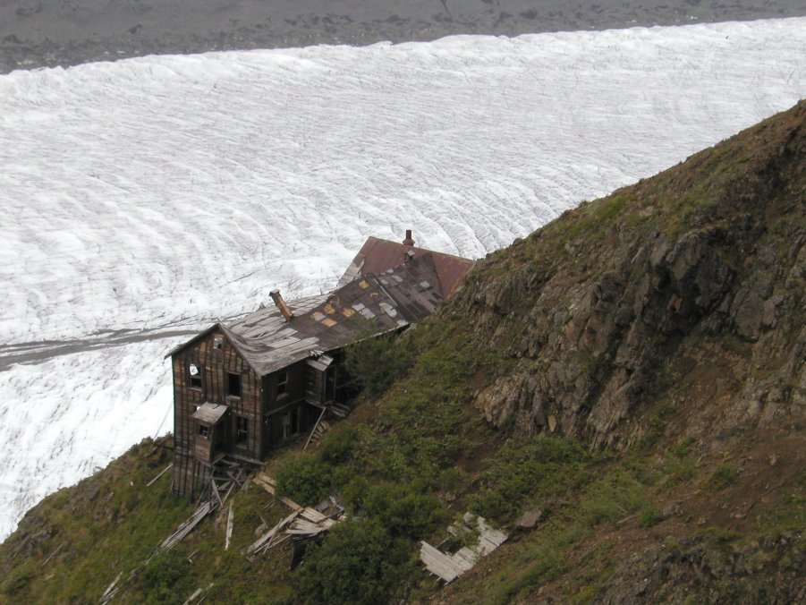
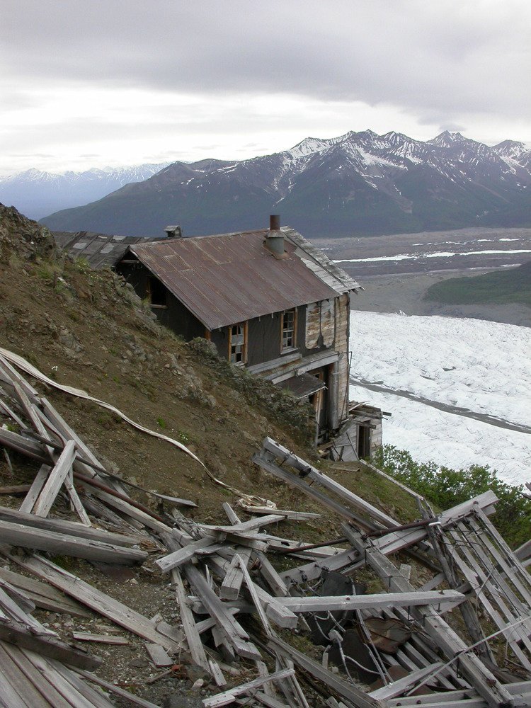
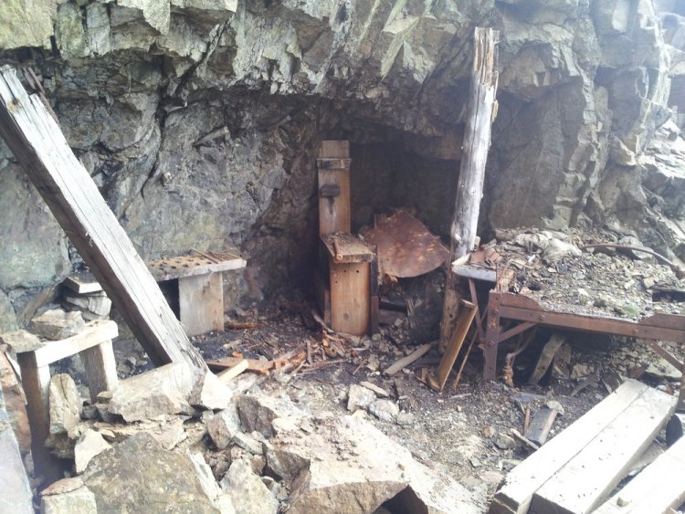
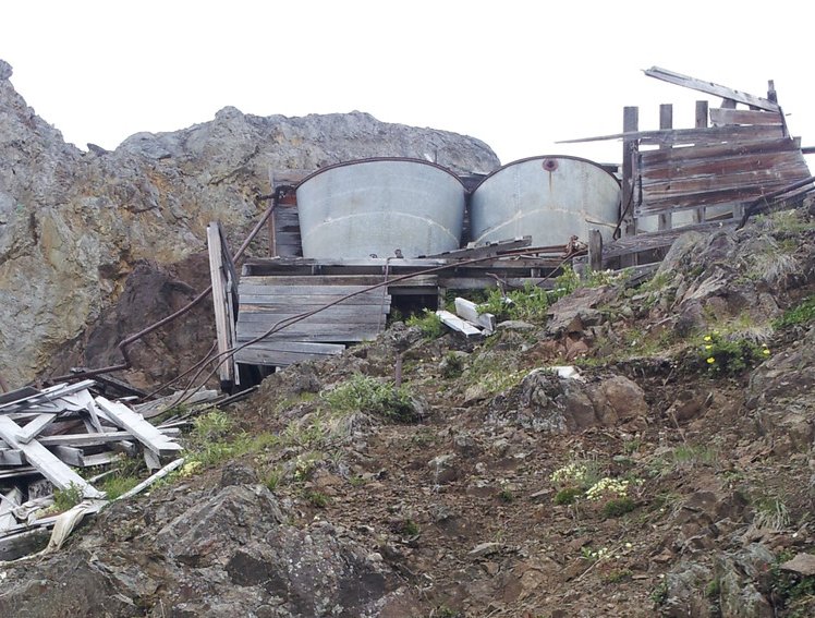
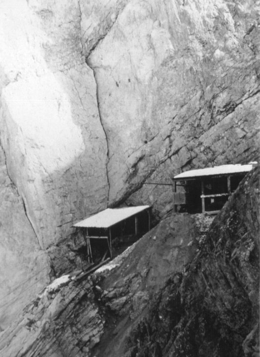
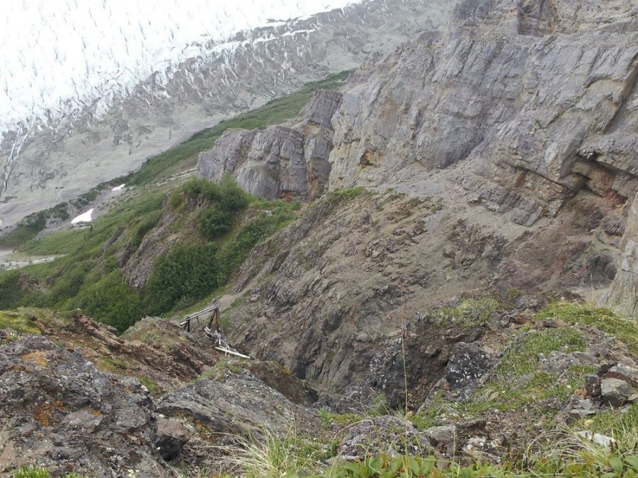
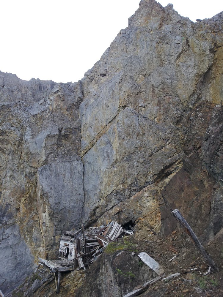
•  


    THEN AND NOW AT THE ERIE MINE

    NATIONAL HISTORIC LANDMARK
     WRANGELL-ST. ELIAS NATIONAL PARK
    AND PRESERVE, MC CARTHY, ALASKA


    PHOTO GALLERY 6

    The smallest of the four Kennecott underground mines was the Erie Mine.  Production started in 1916.  It was located to the west of the other mines, about 3000 feet above the Root Glacier.  Initially, its steep, mine mouth tramway lowered the ore to a road below.  Ore wagons would take it the rest of the way to the mill.  Later on, the mine was connected to the other mines through a tunnel.  The Jumbo tramway was then used for ore transport directly to the mill.  Today, the mine can be viewed from the Root Glacier/Erie Mine Trail; however, this trail does not go all the way to the mine.


    CLICK ON PHOTOS TO ENLARGE

    (Above, left and right) Historic views of the Erie Mine bunkhouse with the Root Glacier thousands of feet below.


    (Below, left and right) Recent views show the remains of the bunkhouse with the glacier below.  The views nearly match the historic photos above.


    A blacksmith shop was cut into the side of the cliff near the mine adit.

    Water tanks above the bunkhouse supplied fresh water to the residents.

    An historic view up Alaska Gulch toward the Erie Mine tramway station at the mine adit. A tramway tower can be seen at the right side of the photo.  (Photographer, Jean Girand)

    A closeup view of the tramway station at the mine shows the cables descending to the lower left.  (Photographer, Jean Girand)

    This recent view shows the route of the Erie Mine tramway down Alaska Gulch.  The ruins of a tramway tower still remain.


    (Right) The ruins of the upper tramway station still adhere to the cliff edge near the ridgeline at the mine mouth.


    (Photographs courtesy National Park Service)


    CLICK HERE FOR THE INDEPENDENCE MINE VISIT


    CLICK HERE TO RETURN TO THE FAIRBANKS MEETING PAGE
     

    All contents copyright 2011. This is a ZStudios website.