•  


    2025 Mining History Association
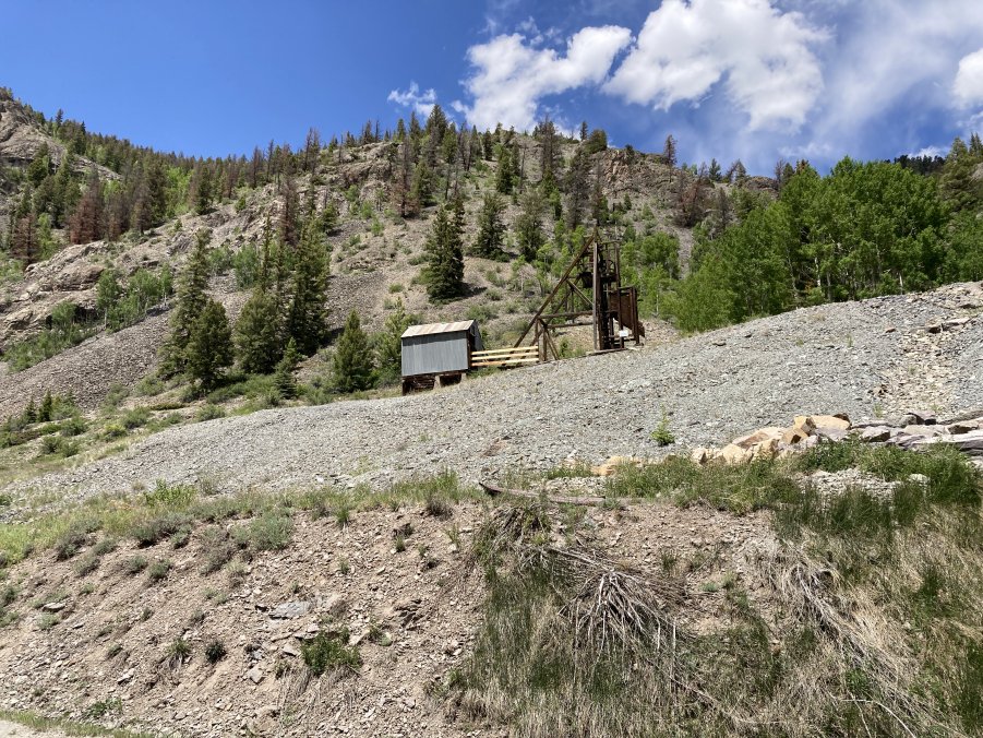
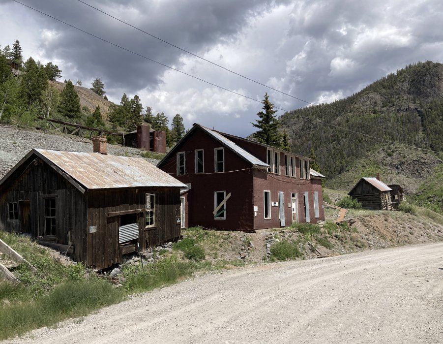
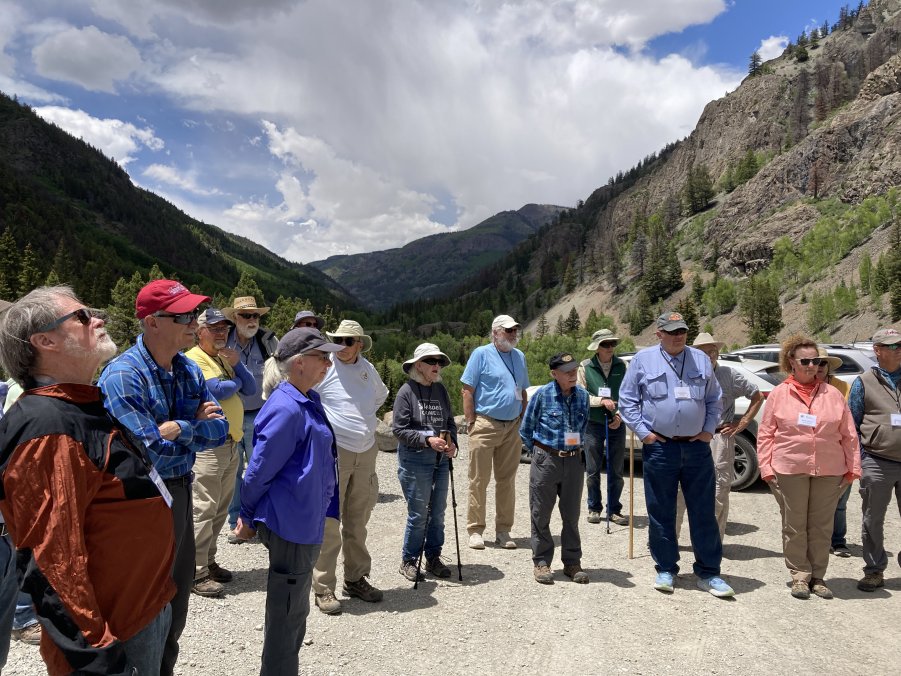
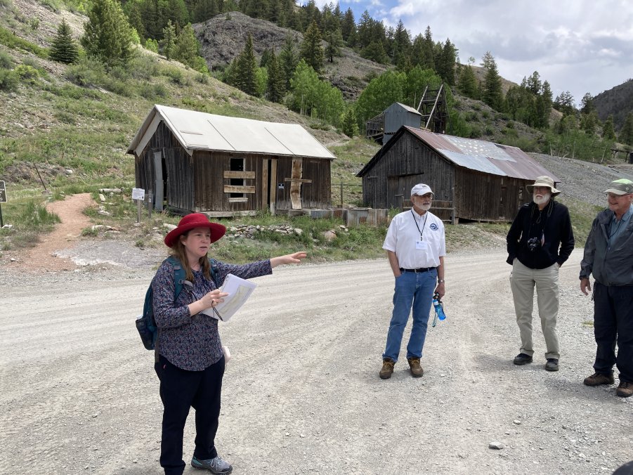
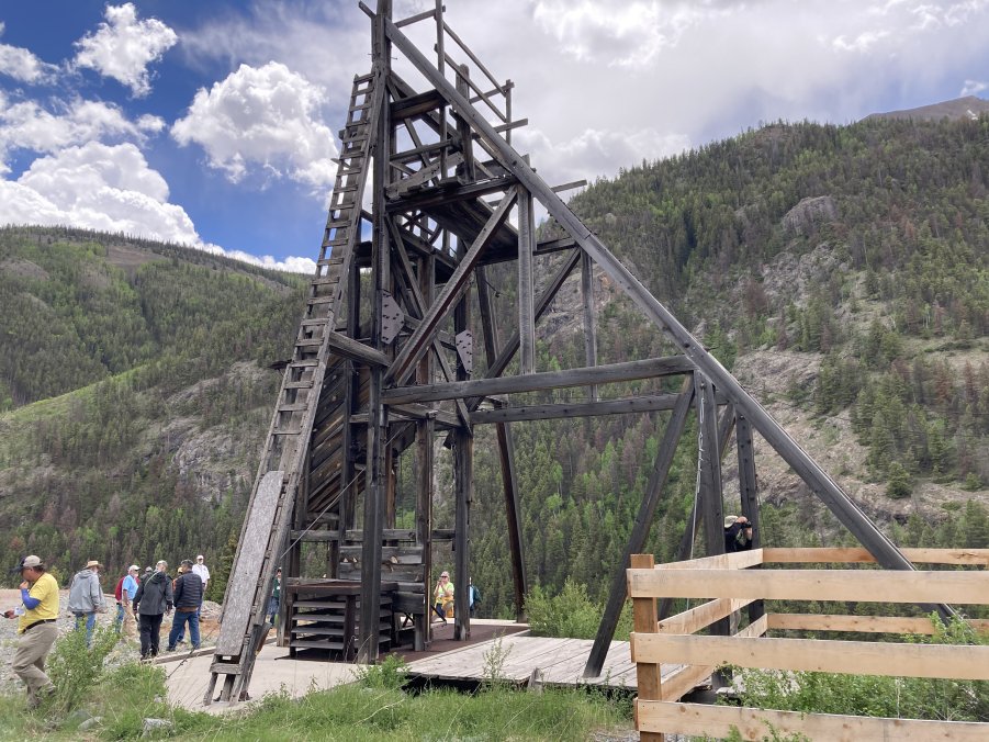
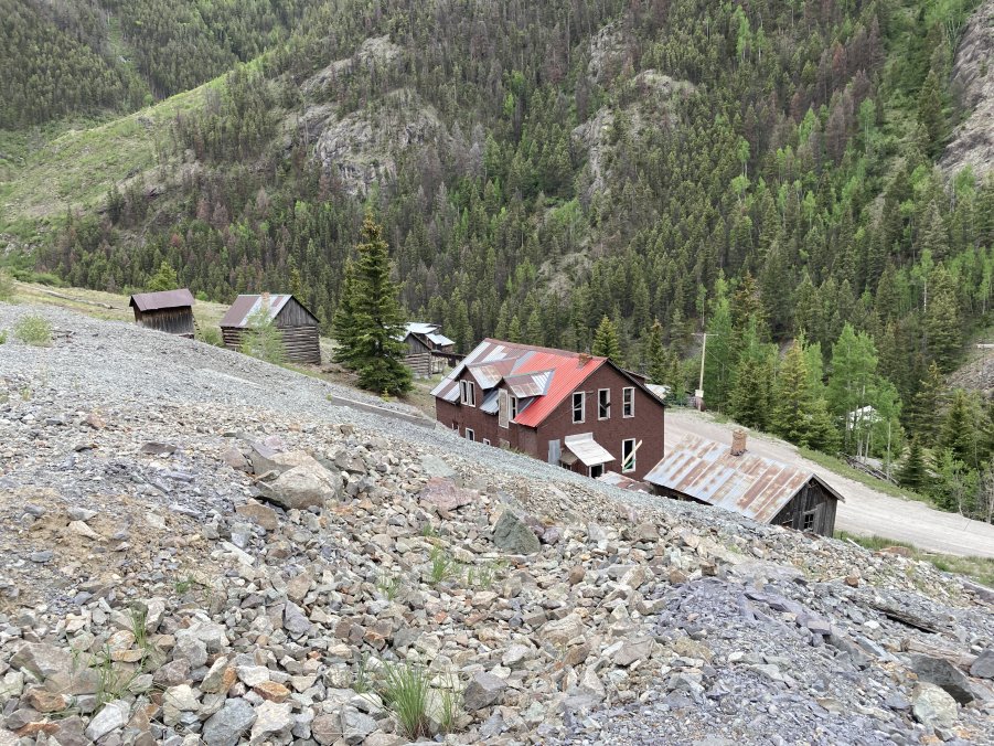
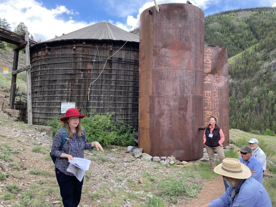
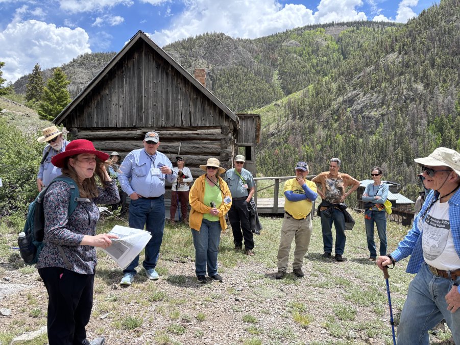
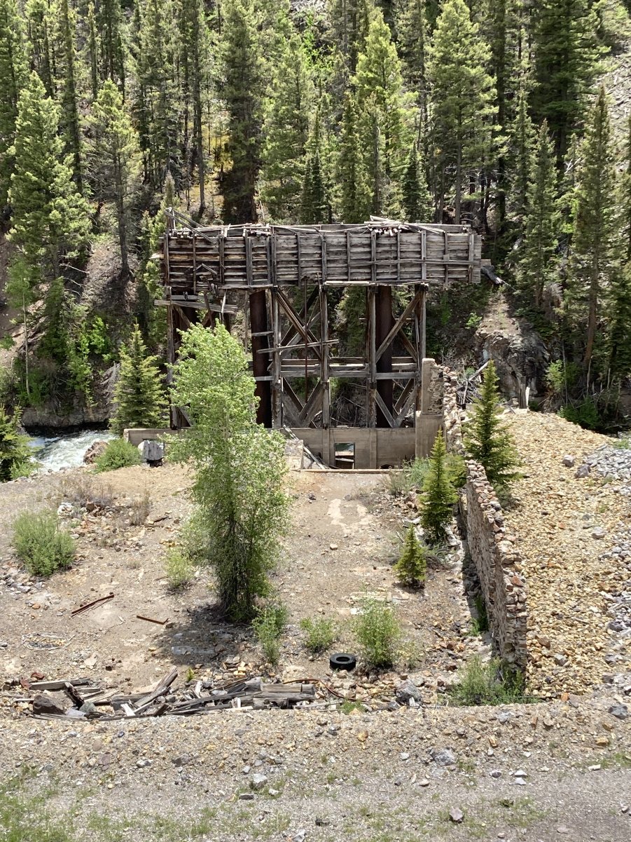
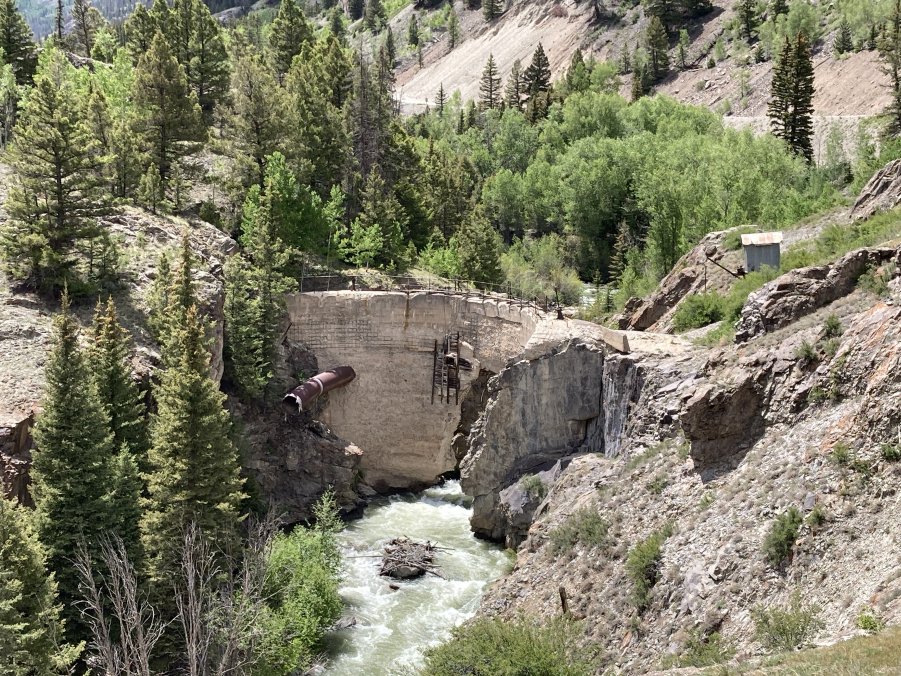
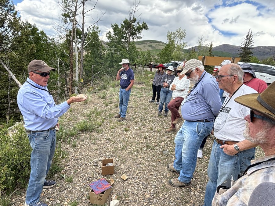
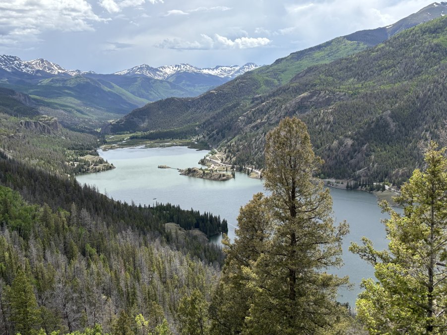
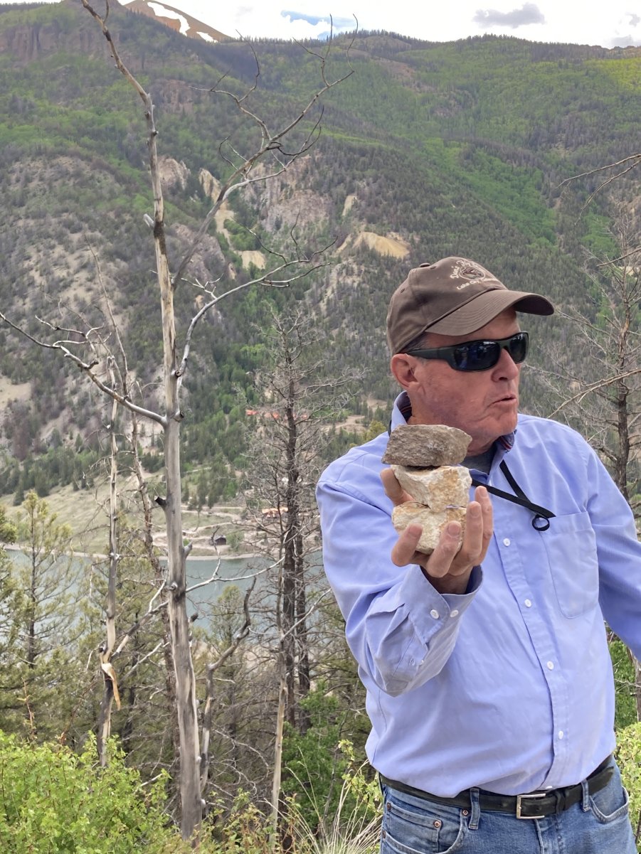
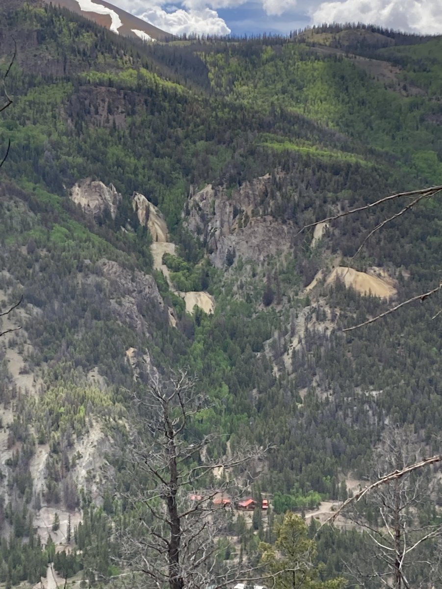
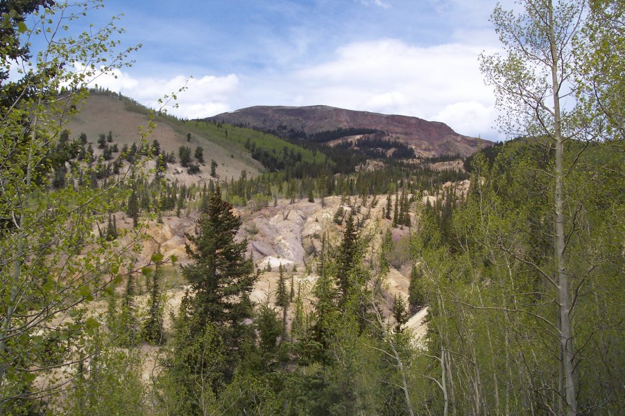


    Lake City Tour

    Tour Leaders, Allen Stork, Harvey DuChene,

    Joe Fox, and Mette Flint


    Gunnison to Lake City, Colorado

    June 11, 2025, 8:00AM to 5:00PM
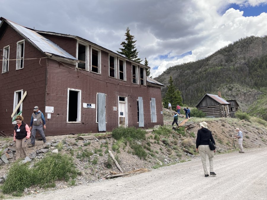
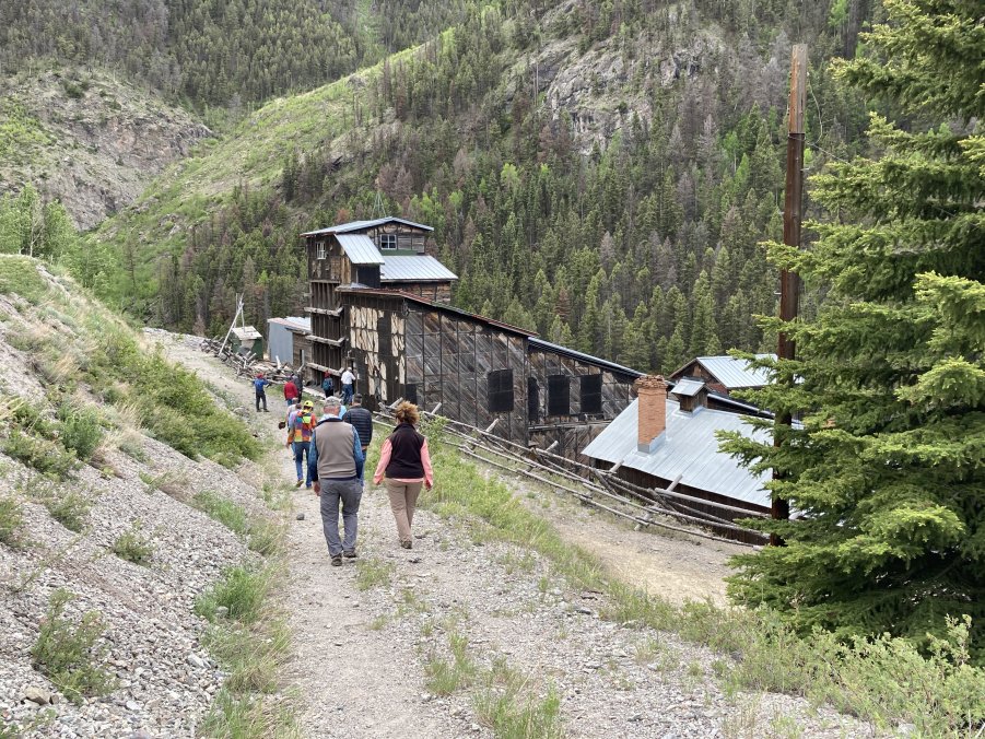
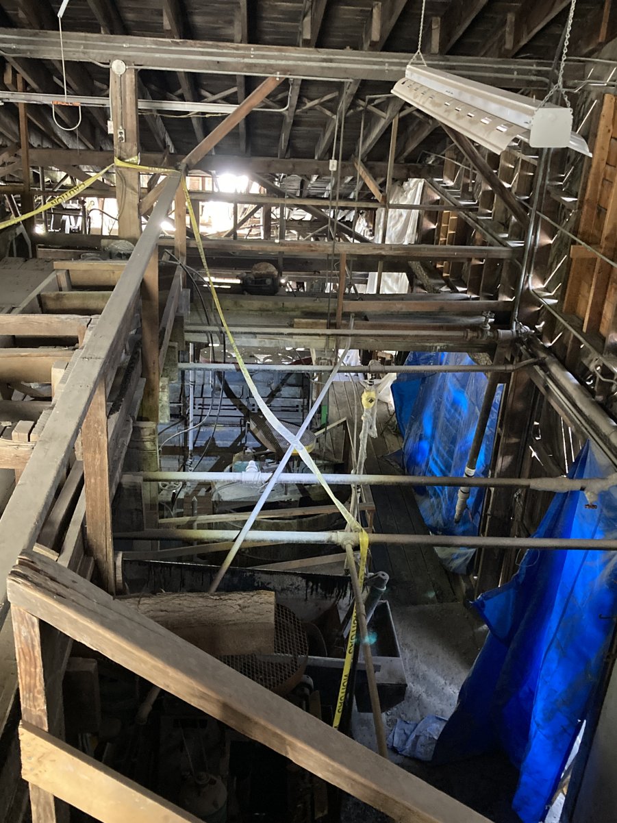
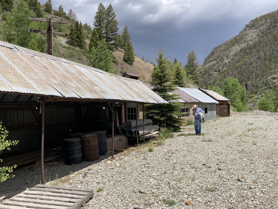
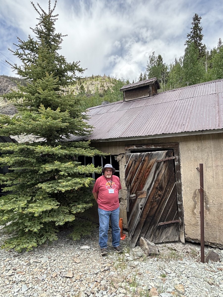
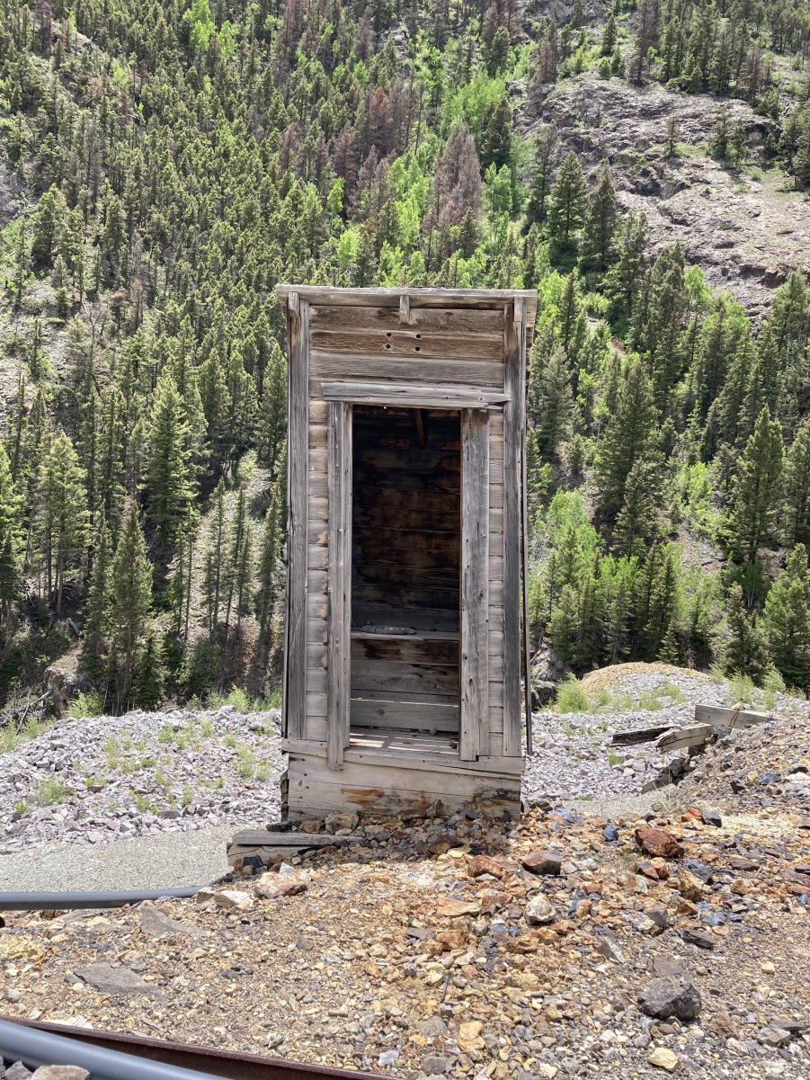
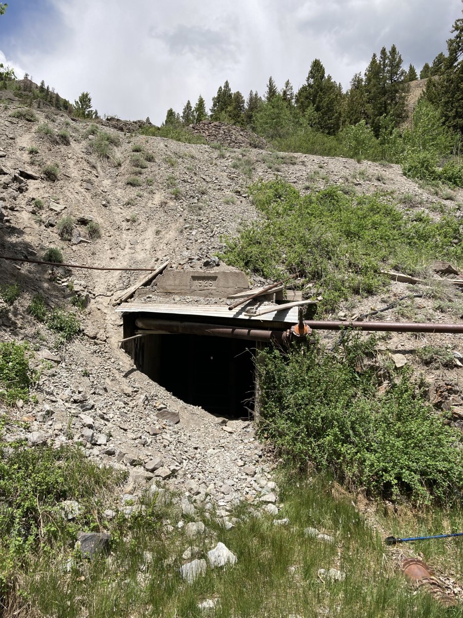
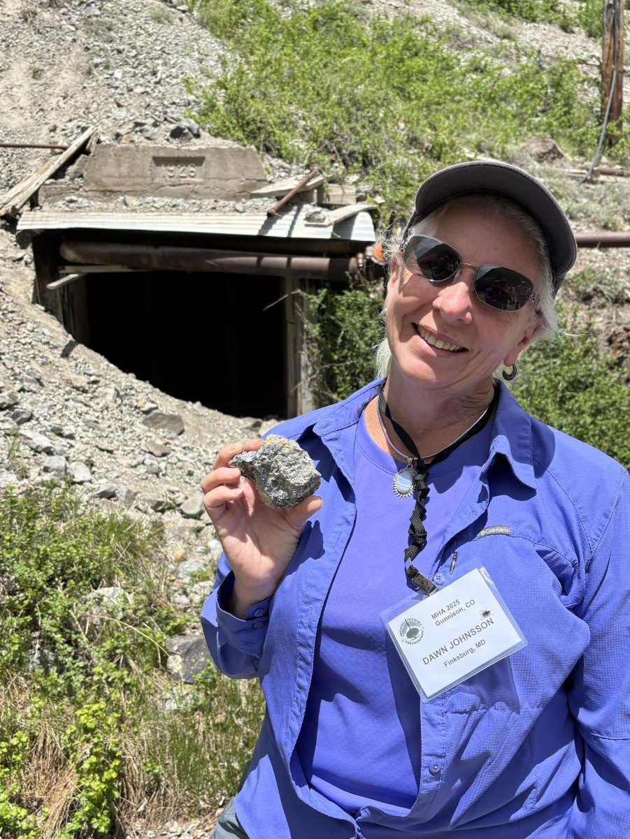

    PHOTO GALLERY 1

    CLICK ON A PHOTO TO DISPLAY A LARGER IMAGE


    STOP 4 is the famous Ute-Ulay Mine along Henson Creek, west of Lake City. CLICK HERE for a sitemap from the National Register Nomination. The numbers in the captions below refer to the various features on the map.

    After a short, dusty drive, we get our first view of the Ute-Ulay Mine Headframe (24) and a reclaimed dump area.


    The large mine boarding house (18) sits along the road at what was the Henson, CO townsite.


    The MHAers are ready to explore the Ute-Ulay.

    Mette Flint is our leader for the walking tour of the Ute-Ulay Mine site.

    The restored Mine Headframe (24)

    The Hoist House (25).


    (Above) Headframe, side view (24).


    (Right) Headframe restoration sign (24).


    View of the lower structures and Henson Creek from the Headframe (24) area.


    Mette Flint with the Water Tanks (22).


    A Log Cabin residence (17).

    The large Boarding House (18) with the Log Cabin (17) at the right.


    (Above) MHAers walking toward the New Mill (6).  This mill was built in the 1920s.


    (Right) Interior view in New Mill (6).


    (Above) Mine Shops and Storage Buildings (2).


    (Right) Bob is at the door of the Blacksmith Shop (2).


    Ray is checking out the Blacksmith Shop interior (2).

    An Outhouse (3) near the New Mill (6).

    The Mine Adit (A-1) with a 1928 date is located near the New Mill (6).

    Dawn has found a piece of hi-grade ore.


    (Left) The foundation of the Old Mill (11) with the wooden remains of the Power Plant (12) structure that held the water powered turbines.


    (Above) The breached Dam (F-1) upstream from the mine and mill site provided water to drive the turbines at the Power Plant (12) at the Old Mill (11).  A Flume (F-2) connected to the pipe on the left side of the Dam conveyed the water to the Power Plant (12) turbines.

    For more information on the Ute-Ulay Mine, see the National Register Nomination and YouTube video below:

    Ute-Ulay Mine and Mill, National Register Nomination (contains an excellent description and many photos of the site).

    https://www.historycolorado.org/sites/default/files/media/documents/2018/5hn77.pdf


    Ute-Ulay Mine, Mill, and Townsite (with YouTube Video).

    https://www.coloradopreservation.org/2014-list-colorados-most-endangered-places/ute-ulay-mill-and-town-site/


    STOP 5 is at the Lake San Christobal Overlook and Slumgullion Earth Flow.


    Harvey DuChene continues his description of the spectacular geologic setting at the Lake San Christobal overlook.

    Lake San Christobal now fills the glacial valley with the beautiful San Juan Mountains in the background.

    Harvey describes the stratigraphic column of some of the rock formations in the area.

    The Golden Fleece Mine (left set of dumps) was one of the more productive mines in Lake City. 

    Slumgullion Earth Flow, just visible at the rear of the first photo above, carries the trees and everything else downslope. It eventually formed a dam that created Lake San Cristobal. (Photo taken at the time of the 2009 MHA conference in Creede, CO).

    Harvey shared a specimen of the Slumgullion Clay that forms the lubrication that allows the huge mass of earth to slide downhill.

    We end our tour to Lake City with a final spectacular view of the

    San Jual Mountains and Lake San Christobal.


    Photos courtesy of Dawn and Johnny Johnsson, Mike Kaas


    CLICK HERE TO RETURN TO THE GUNNISON  MEETING PAGE


    All contents copyright 2011. This is a ZStudios website.