•  


    2025 Mining History Association


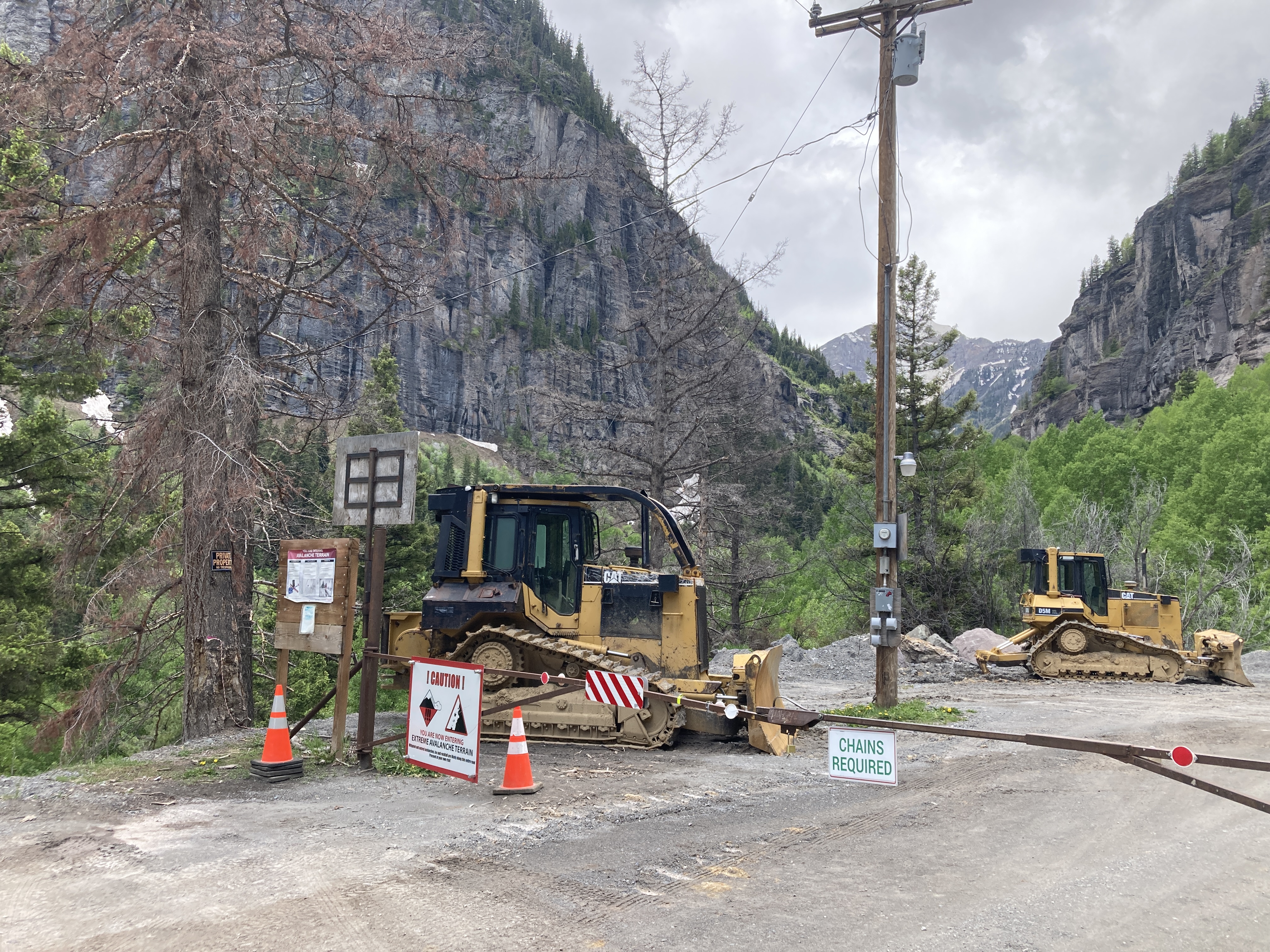
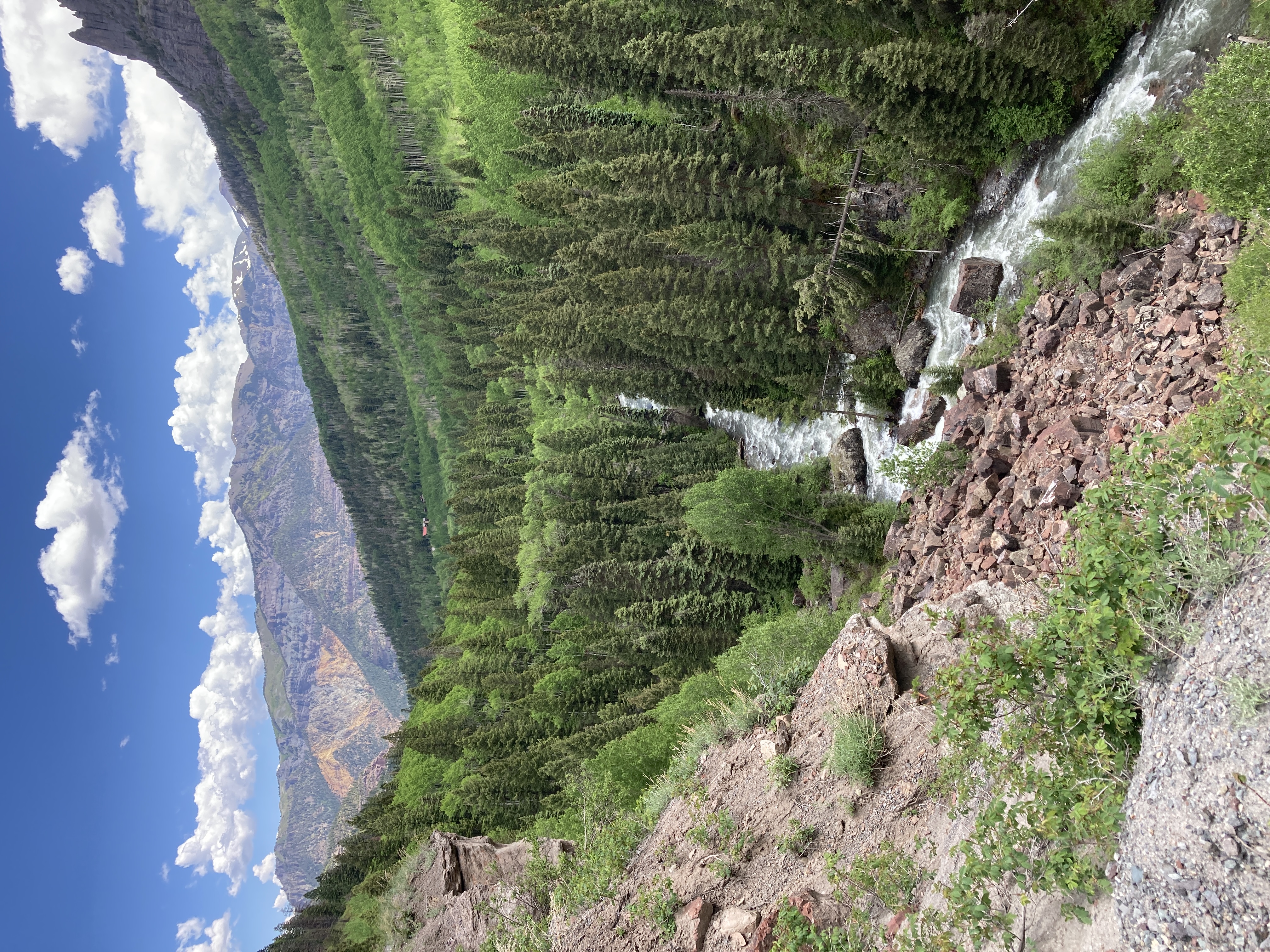
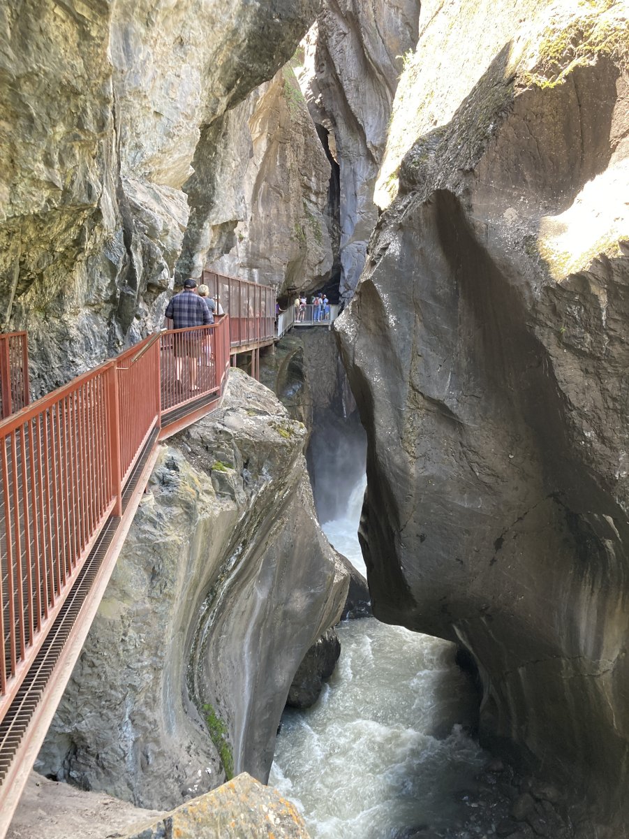
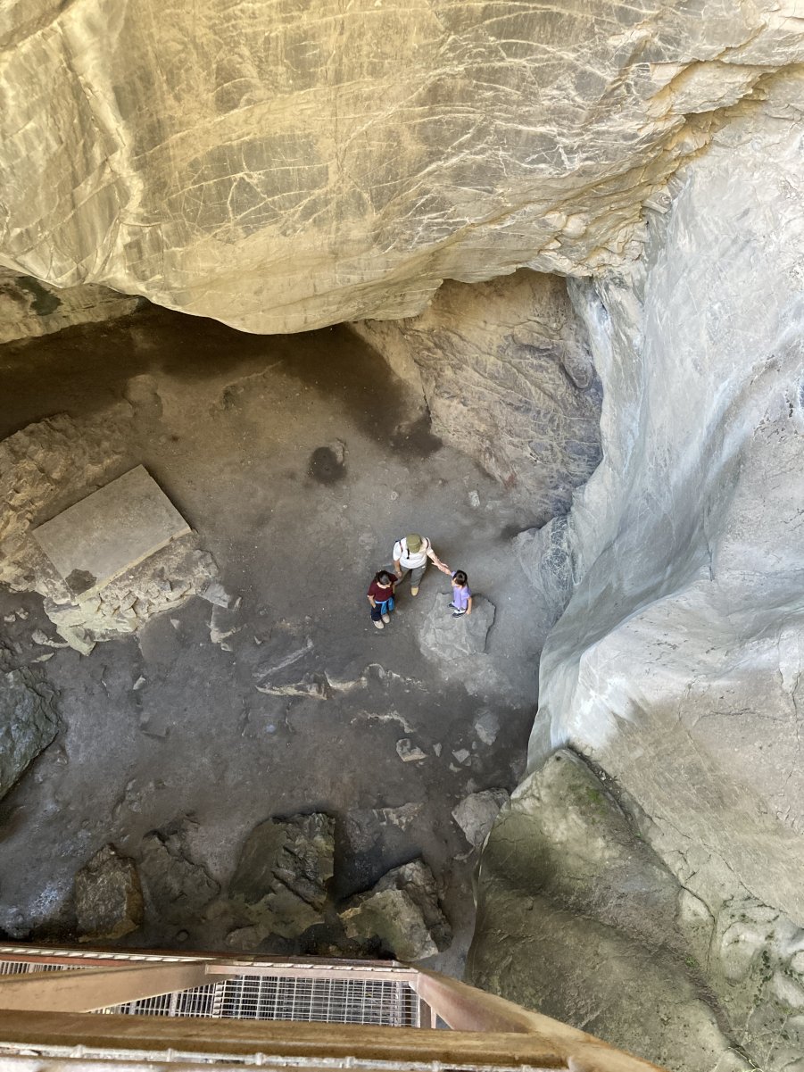
    ON THE WAY TO THE MHA…


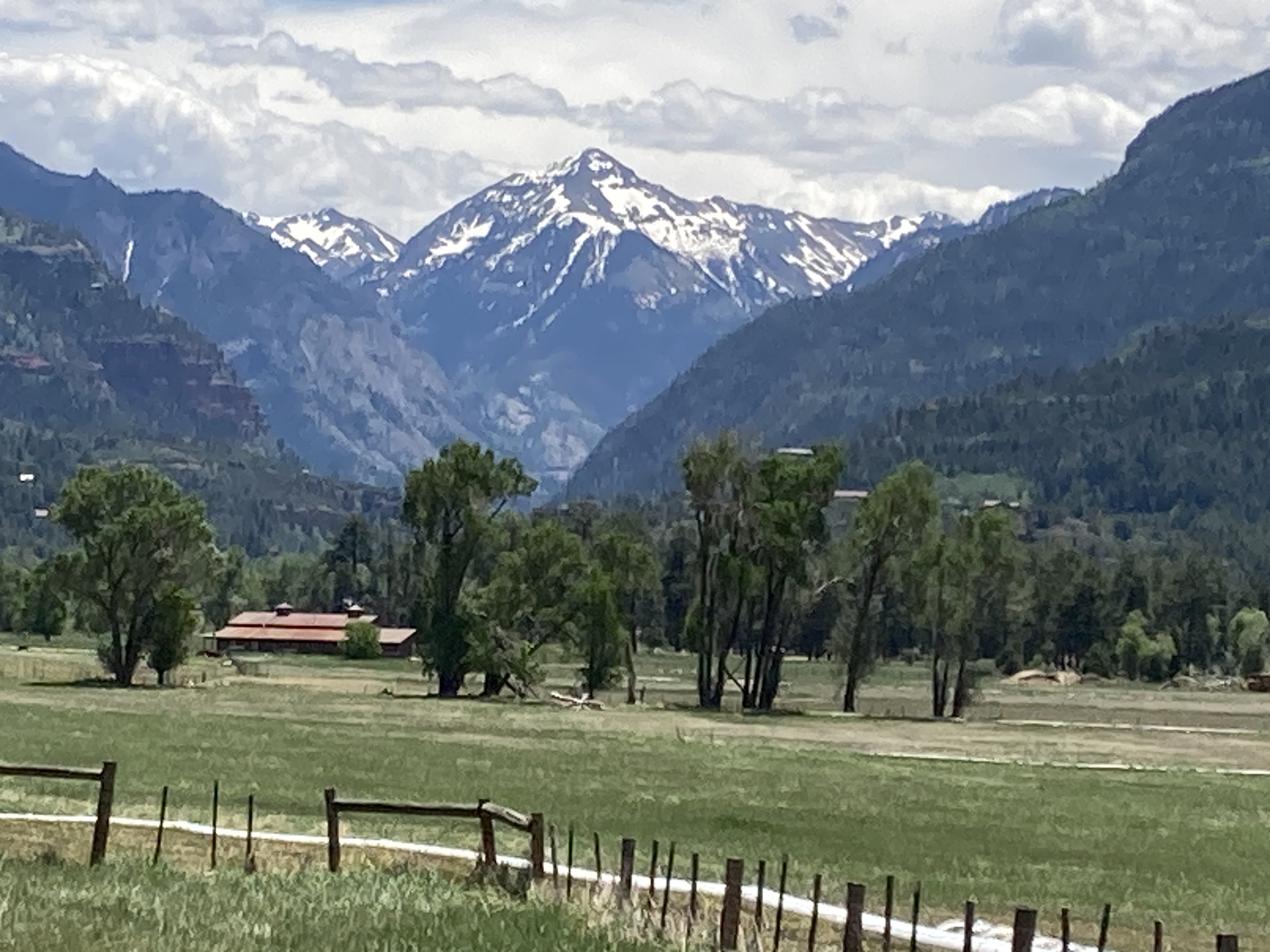
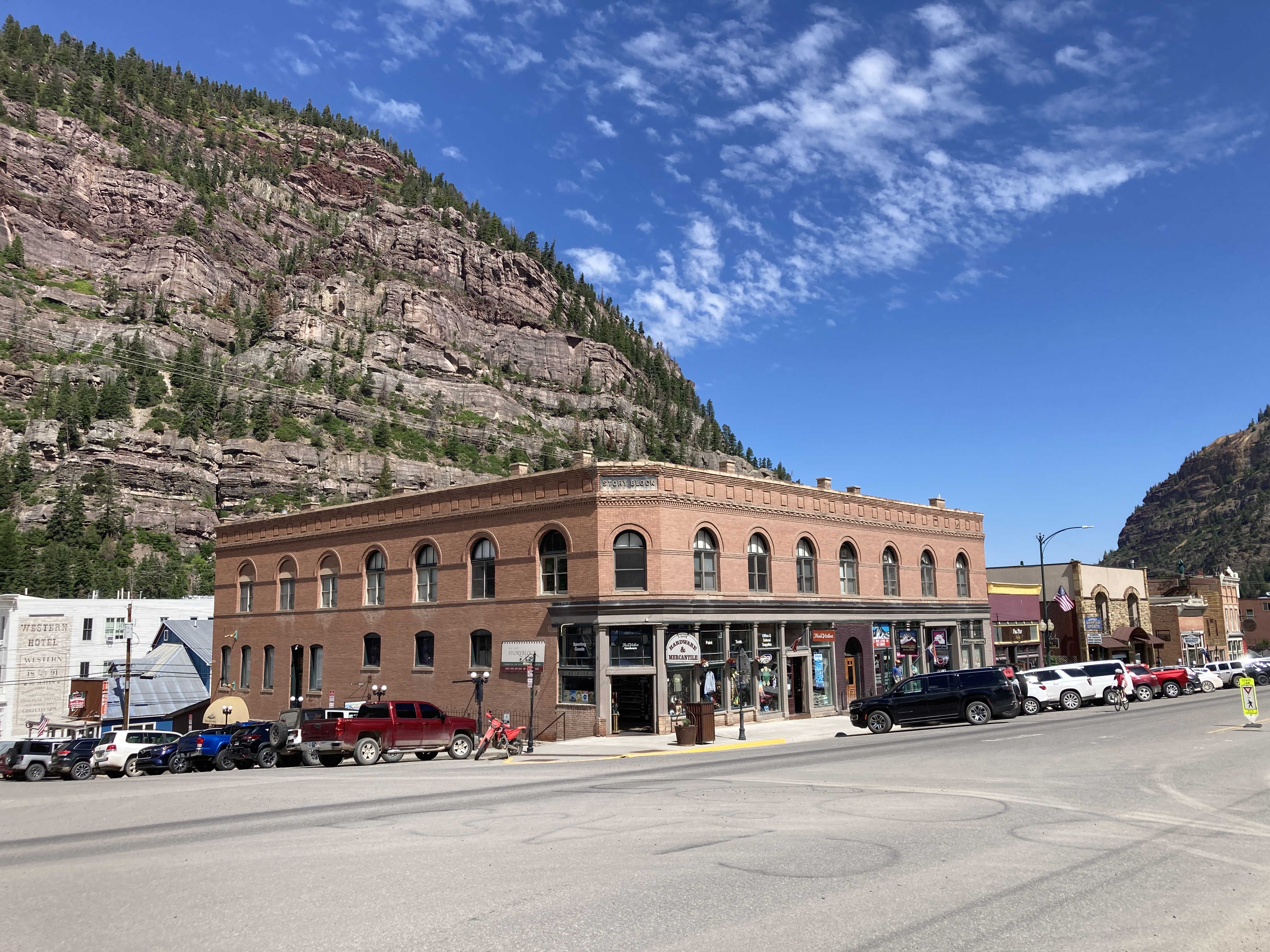
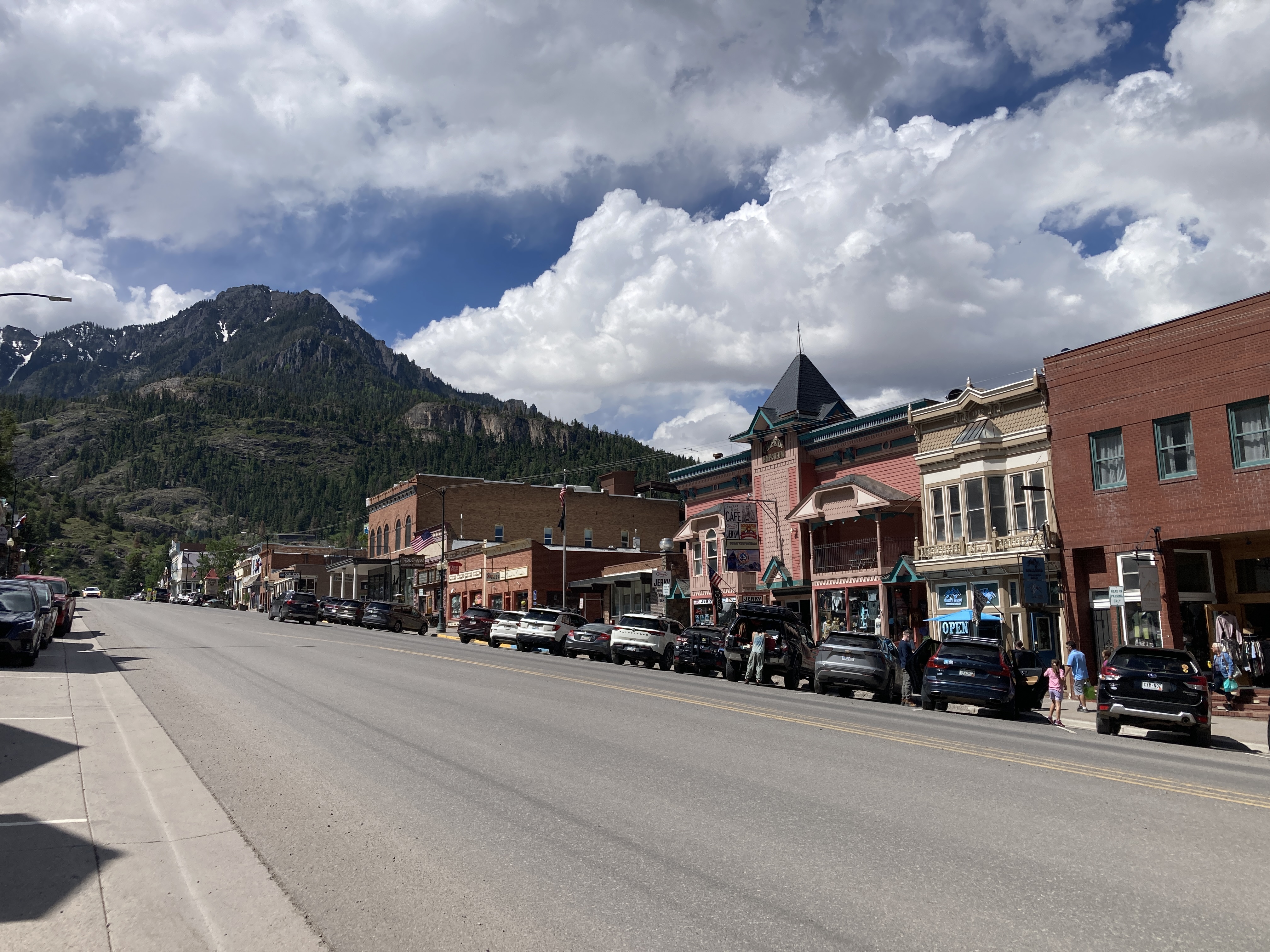
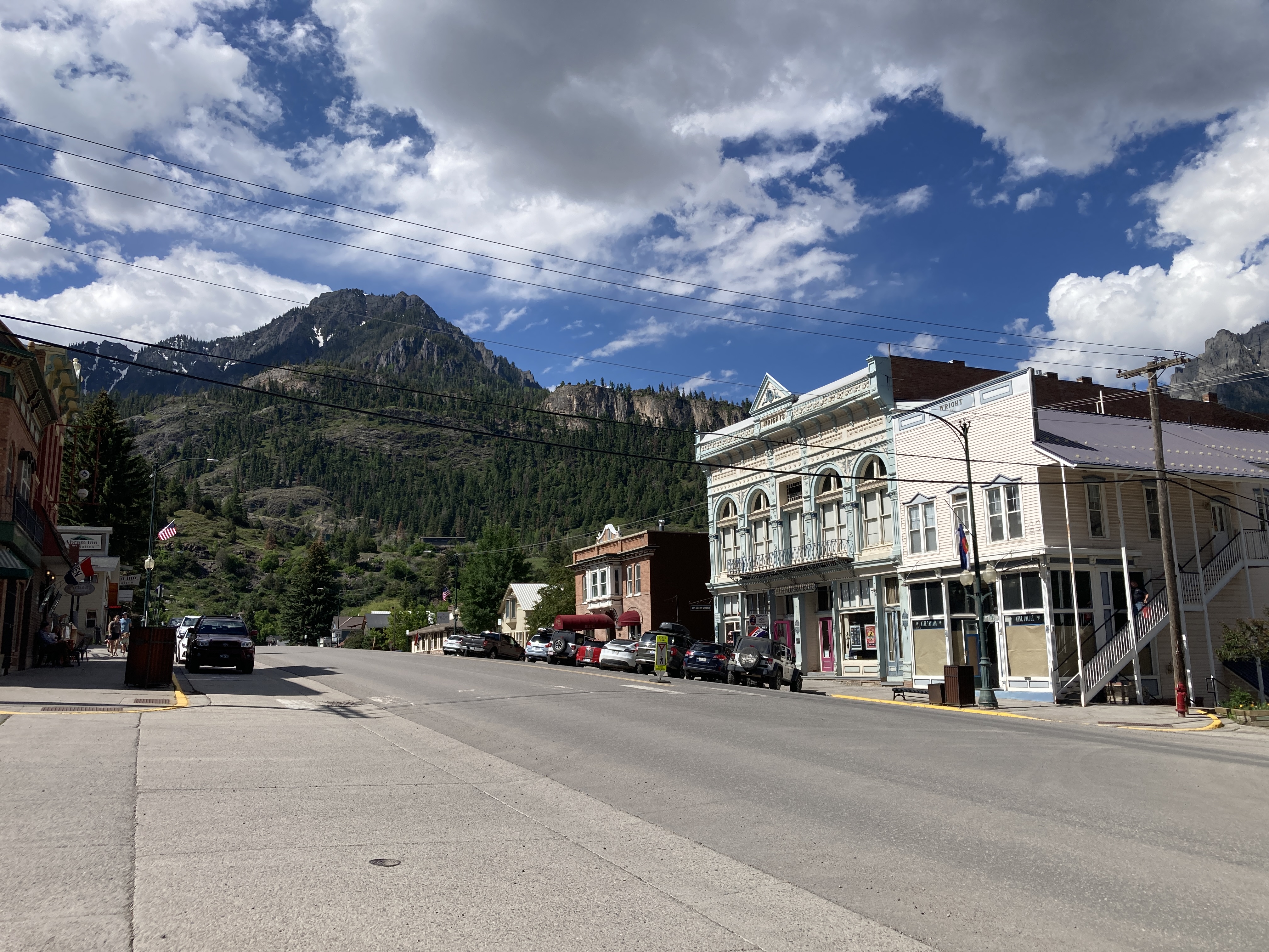
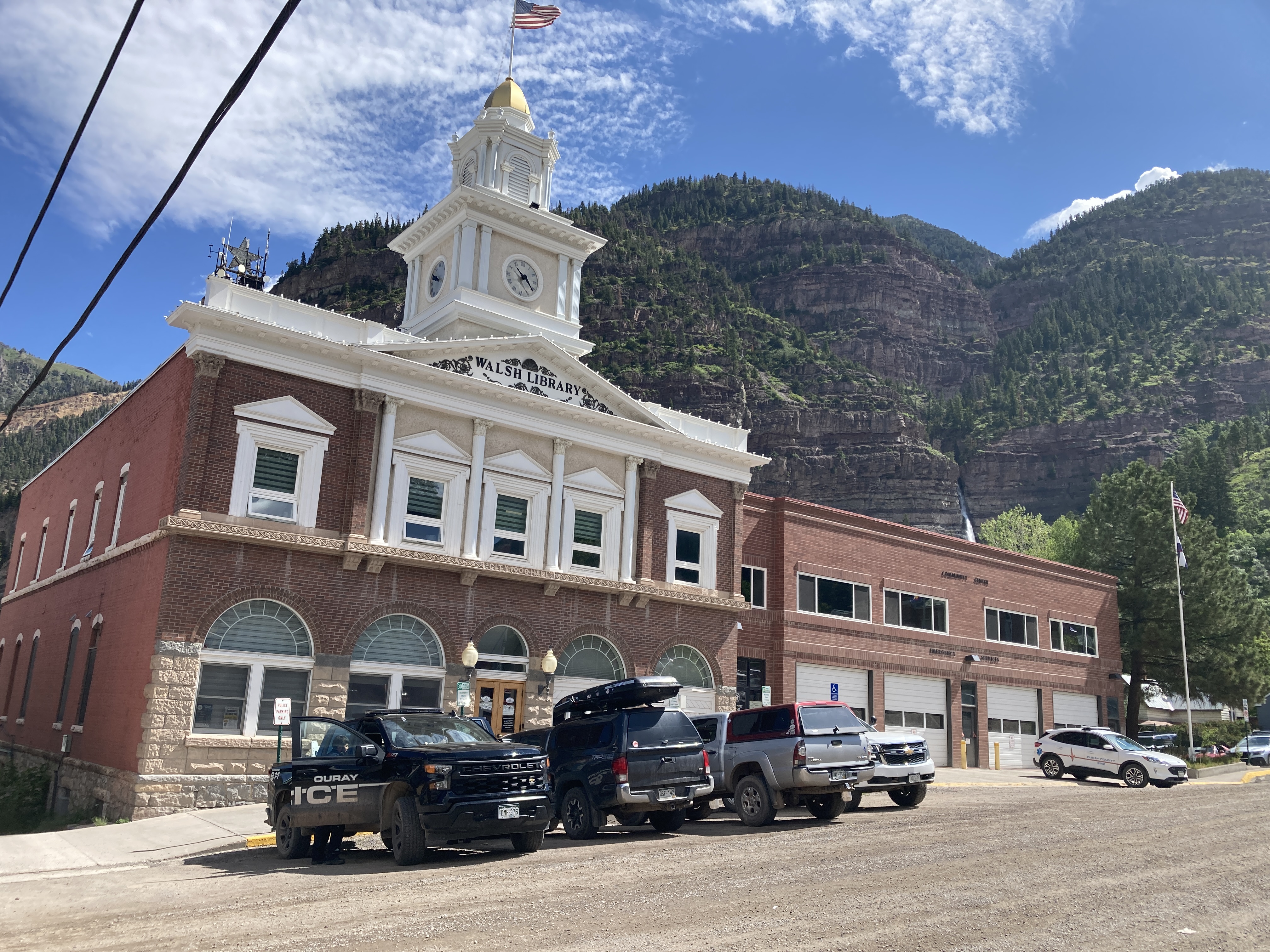
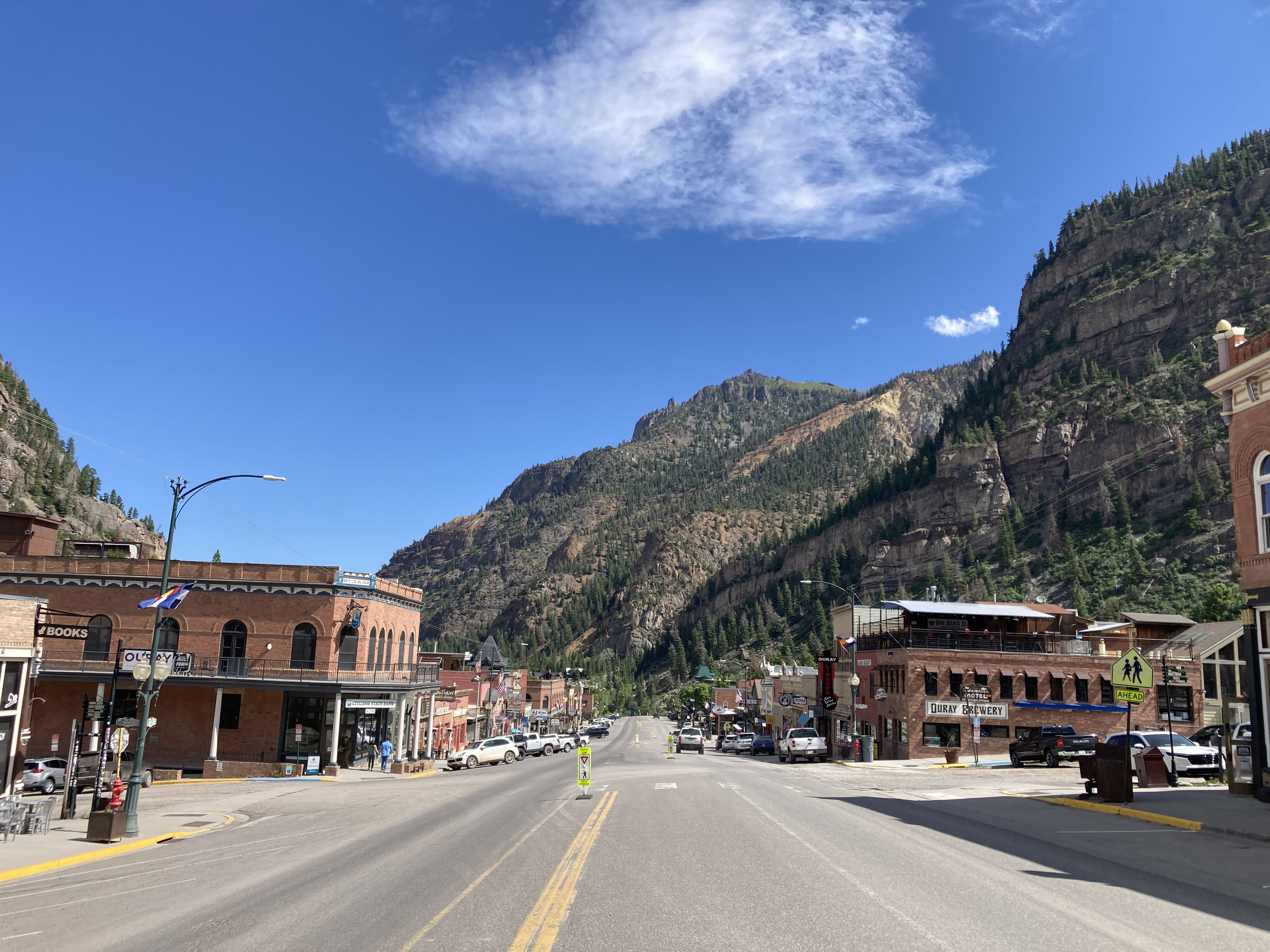
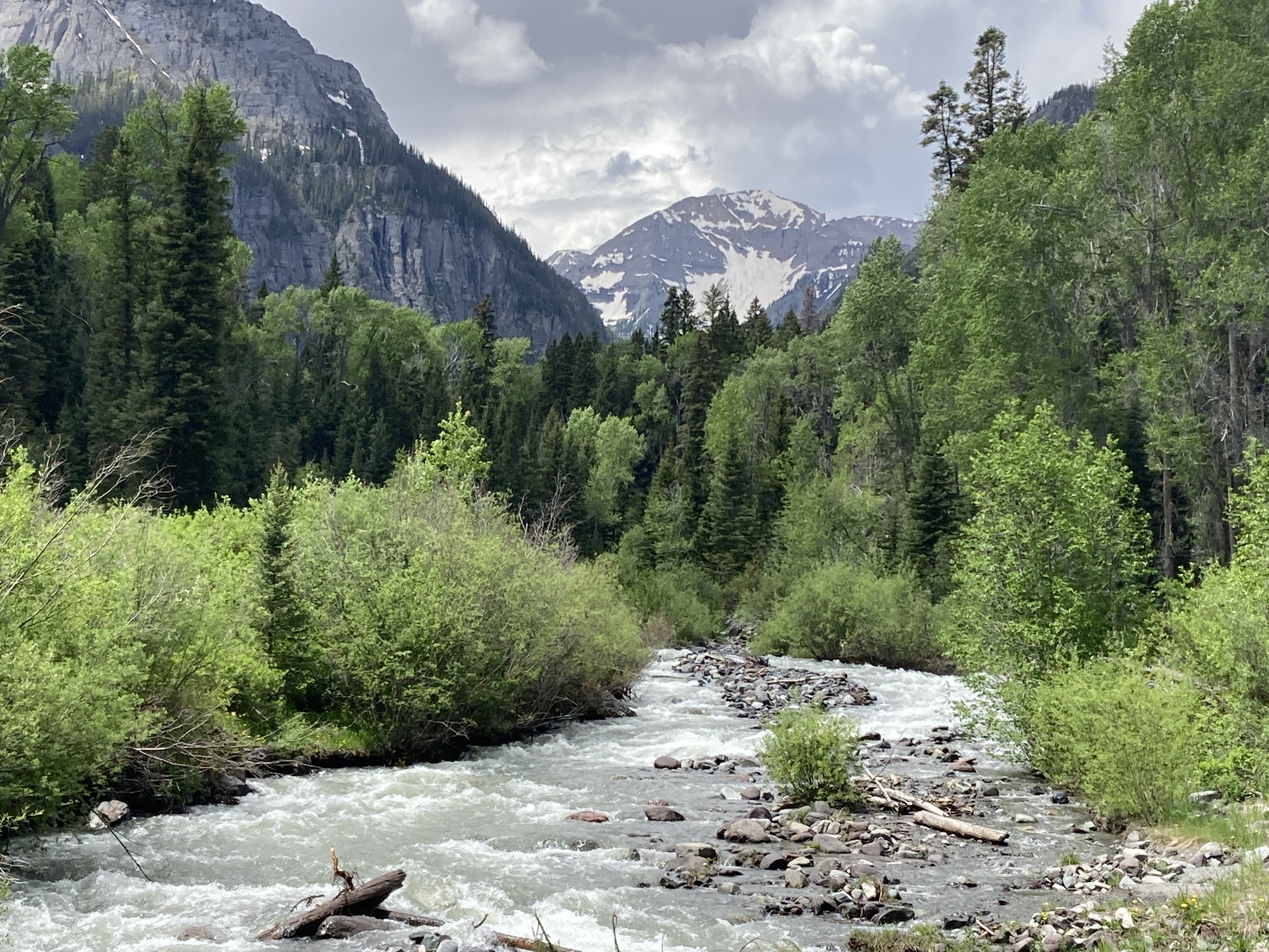
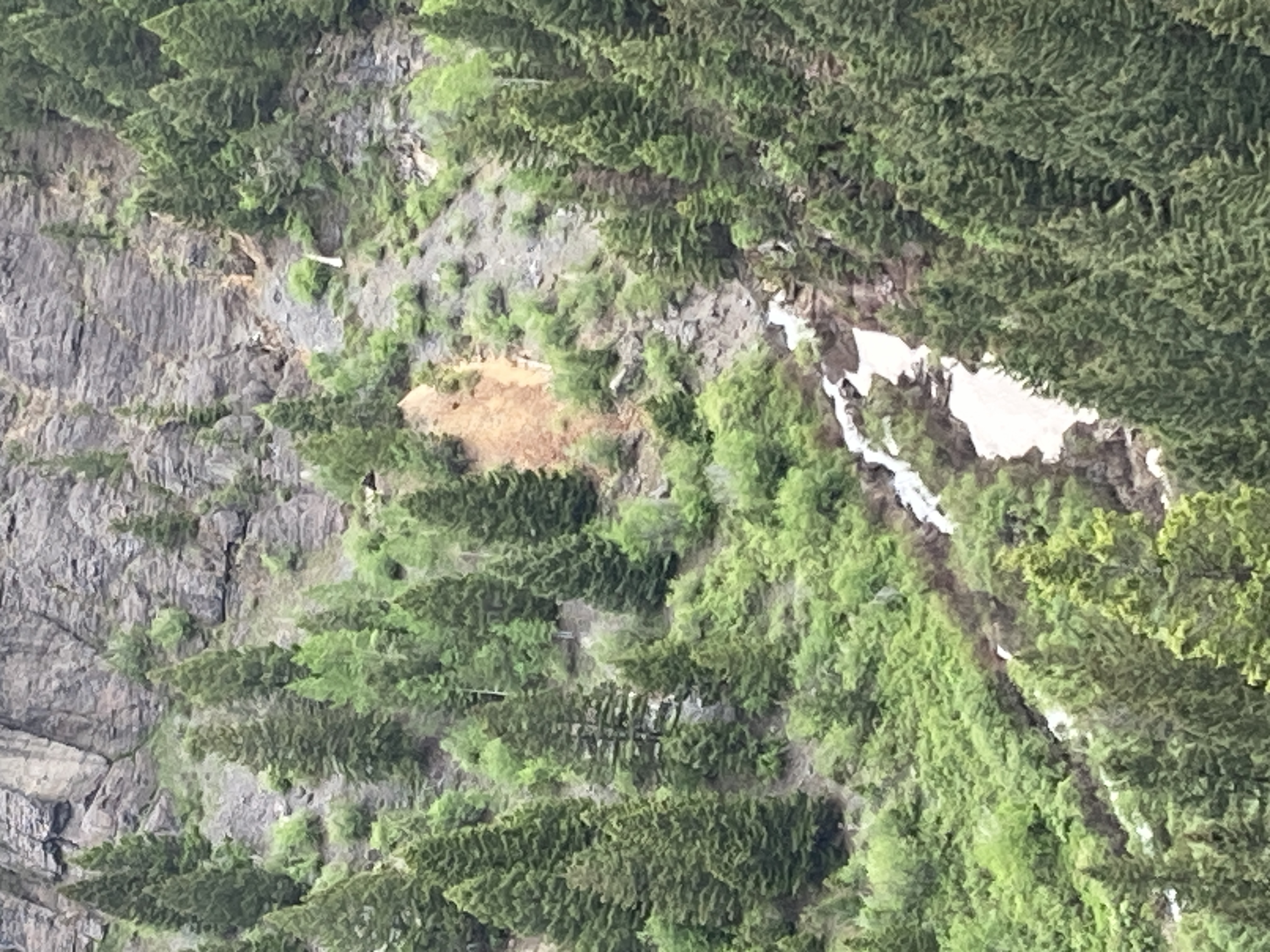
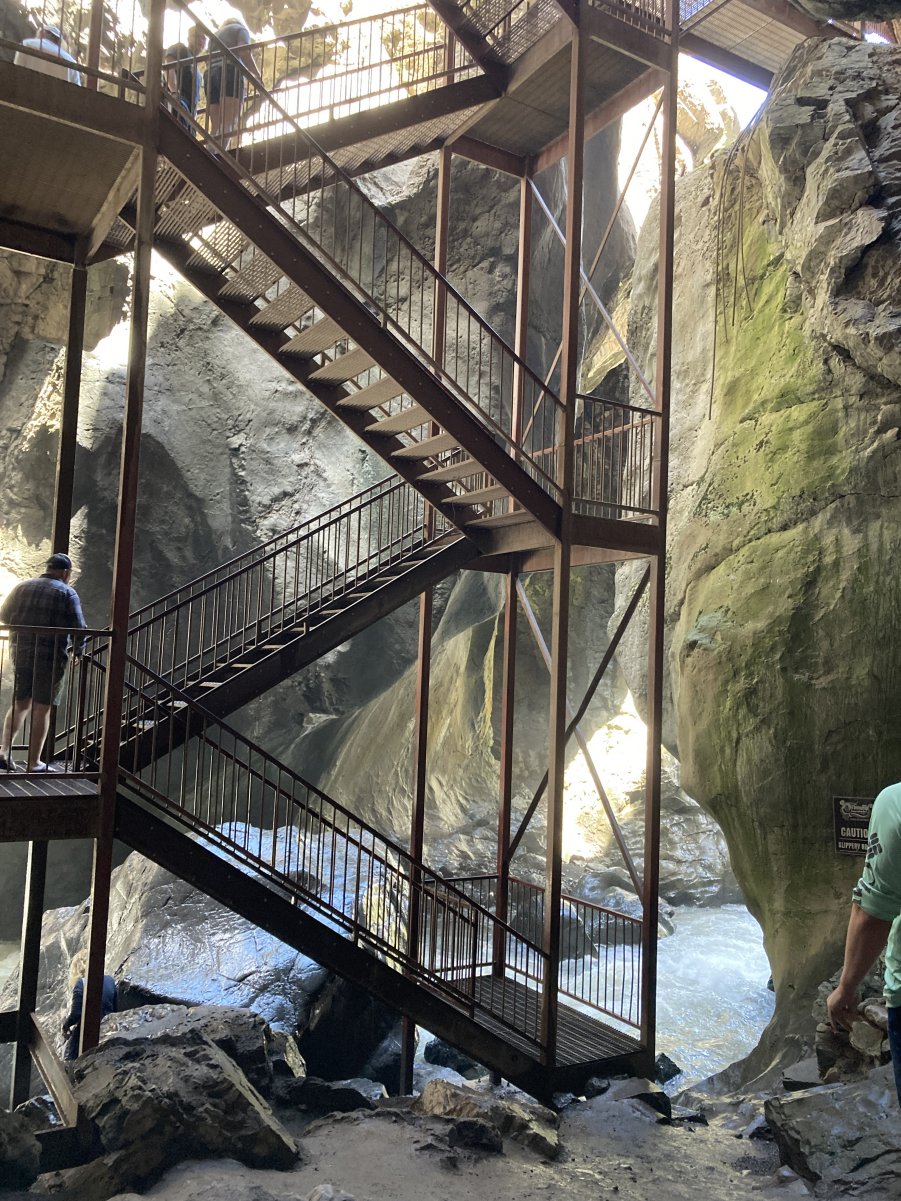
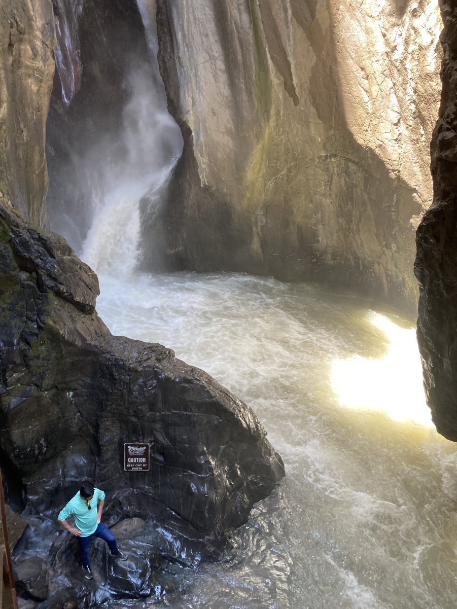
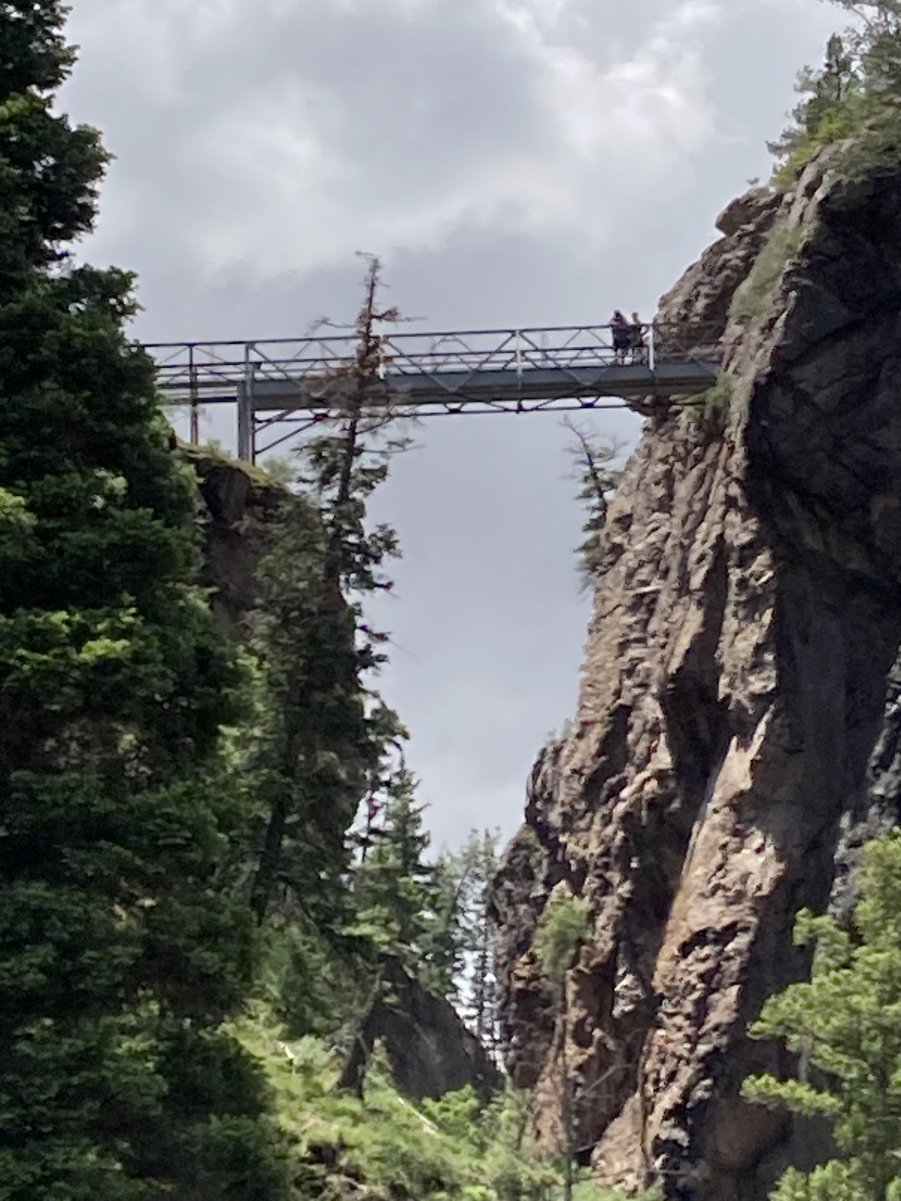
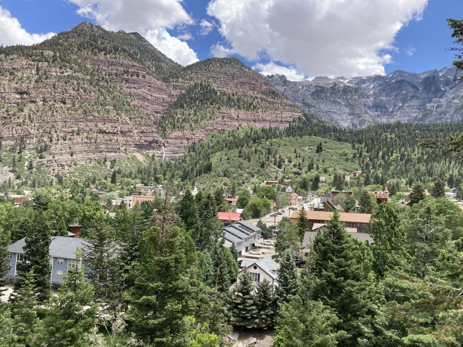
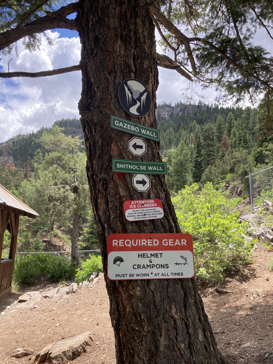
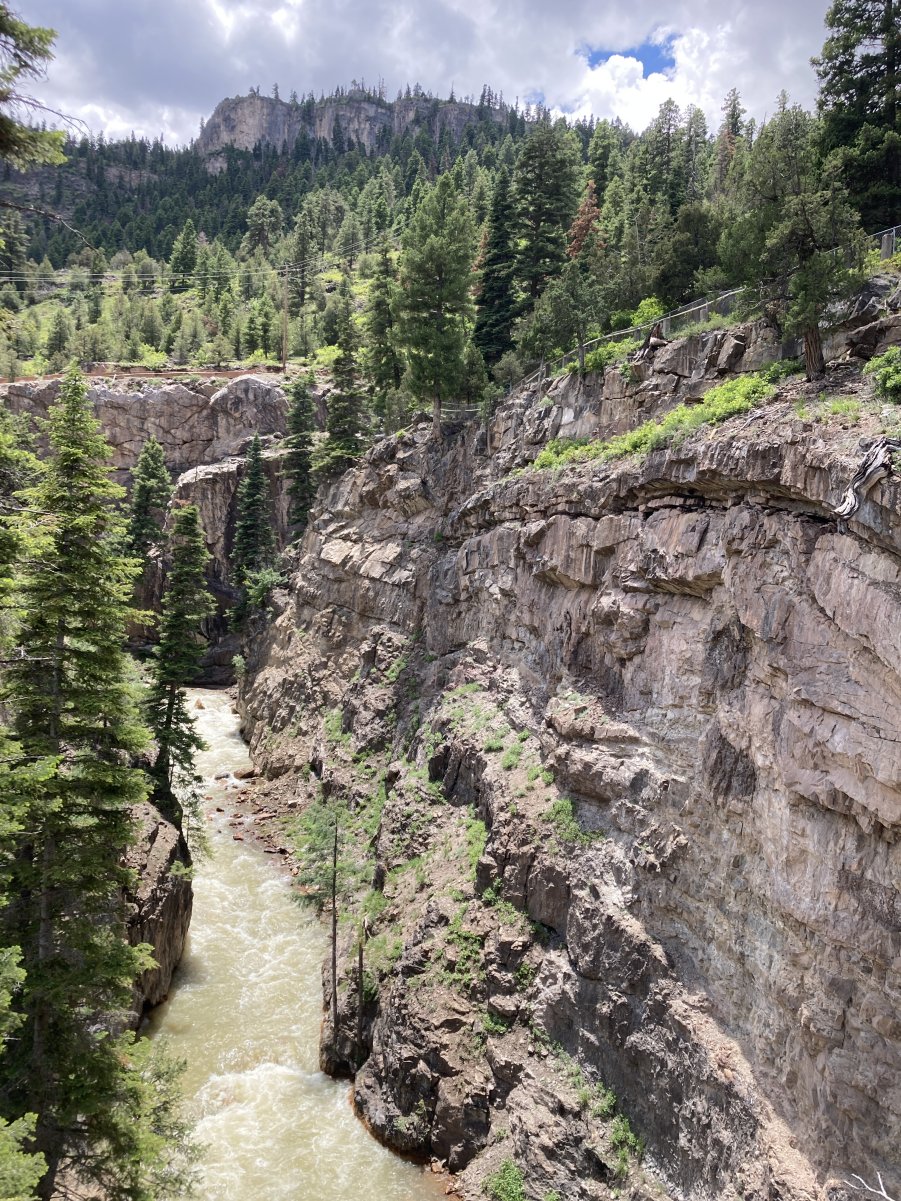
    Ouray and Silverton, Colorado

    June 9-10, 2025


    Mike Kaas


    PHOTO GALLERY 1

    CLICK ON A PHOTO TO DISPLAY A LARGER IMAGE


    In 1999, the MHA held the annual conference in Ouray and included a tour led by the incomparable Duane Smith.  It included the Red Mountain Mining District and Silverton.  The beauty of the San Juans and their amazing mining history has kept drawing us back time and time again.  Around 2007, I volunteered on a US Forest Service Passport in Time (PIT) project documenting historic mine sites that had been donated to the Service.  Pat and I visited Ouray again during the 2016 MHA Conference in Telluride.  My objective for 2025 on the way to Gunnison was to take a jeep tour from Ouray over Engineer Pass, famous for its ruins of several historic mines and mills.  Alas, Mother Nature intervened and a late snowfall prevented the jeep roads from opening in time.  In addition, a major rockfall had closed the road to the Camp Bird Mine area visited in 1999, eliminating another anticipated road trip.  Further up the Camp Bird Road are the historic Revenue Mine (recently active) and the Atlas Mine and Mill ruins visited in 2007 and 2016.  Clearly, a change of plans was necessary.  I did some scenic hiking to visit features missed on previous trips and then visited the historical museums in Ouray and Silverton to investigate their mining exhibits.  Come along and enjoy this virtual tour.

    On the road from Ridgeway to Ouray, one gets the first view if the majestic San Juan Mountains.


    Ouray’s historic Main Street is lined with many buildings that date from the mining boom years.


    (Above) The summer runoff is strong in Canyon Creek which parallels the Camp Bird Road at the bottom of the deep canyon.


    (Right) As the road climbs through the canyon, signs of historic mining can be seen.


    CLICK HERE to see the 1999 MHA Tour photos of the Camp Bird Mine.


    (Above) Three- and one-half miles from Ouray, the Camp Bird Road is closed for reconstruction after the rockfall.


    (Right) The lack of guardrails reminds the driver to keep one’s eyes on the road and pull over to enjoy the spectacular scenery.


    The city operated Box Canyon Falls Park and Nature Center is located at the south end of Ouray where Canyon Creek joins the Uncompahre River. Just before that junction, Canyon Creek, has cut a very narrow slot containing Box Canyon Falls.  It is a truly unique geologic feature.  A catwalk allows visitors to safely walk through the slot to view the falls.


    The falls were discovered in 1875 by prospectors who staked mining claims in the vicinity.  At the bottom of the canyon, at the base of the falls, the force of the water has cut a large cave.  The concrete pad on the floor of the cave once held a piece of mining equipment.

    A video shows the force of Box Canyon Falls in the early summer runoff.

    A stairway from the catwalk allows visitor to enter the cave at the base of the falls.


    Walking on the slippery rocks requires caution.


    (Left) A hiking trail takes visitors to the bridge crossing the 200-foot-deep canyon high above the falls.


    (Above) Modern homes above the canyon were likely built on old mining claims.

    During the winter, the Uncompahgre River Gorge above the junction with Canyon Creek is transformed into the Ouray Ice Park, a mecca for ice climbers.

    A sprinkler system along the fence on the canyon rim, ensures that a mile-long wall of ice is available to challenge the ice climbers.


    Photos courtesy of Mike Kaas


    CLICK HERE FOR GALLERY 2

    CLICK HERE TO RETURN TO THE GUNNISON  MEETING PAGE


    All contents copyright 2011. This is a ZStudios website.