|
|
2025 Mining History Association
Somerset-Marble-Redstone Tour
Tour Leader, Steve Hart
Gunnison to Redstone, Colorado
June 15, 2025, 8:00AM to 5:00PM
PHOTO GALLERY CLICK ON A PHOTO TO DISPLAY A LARGER IMAGE
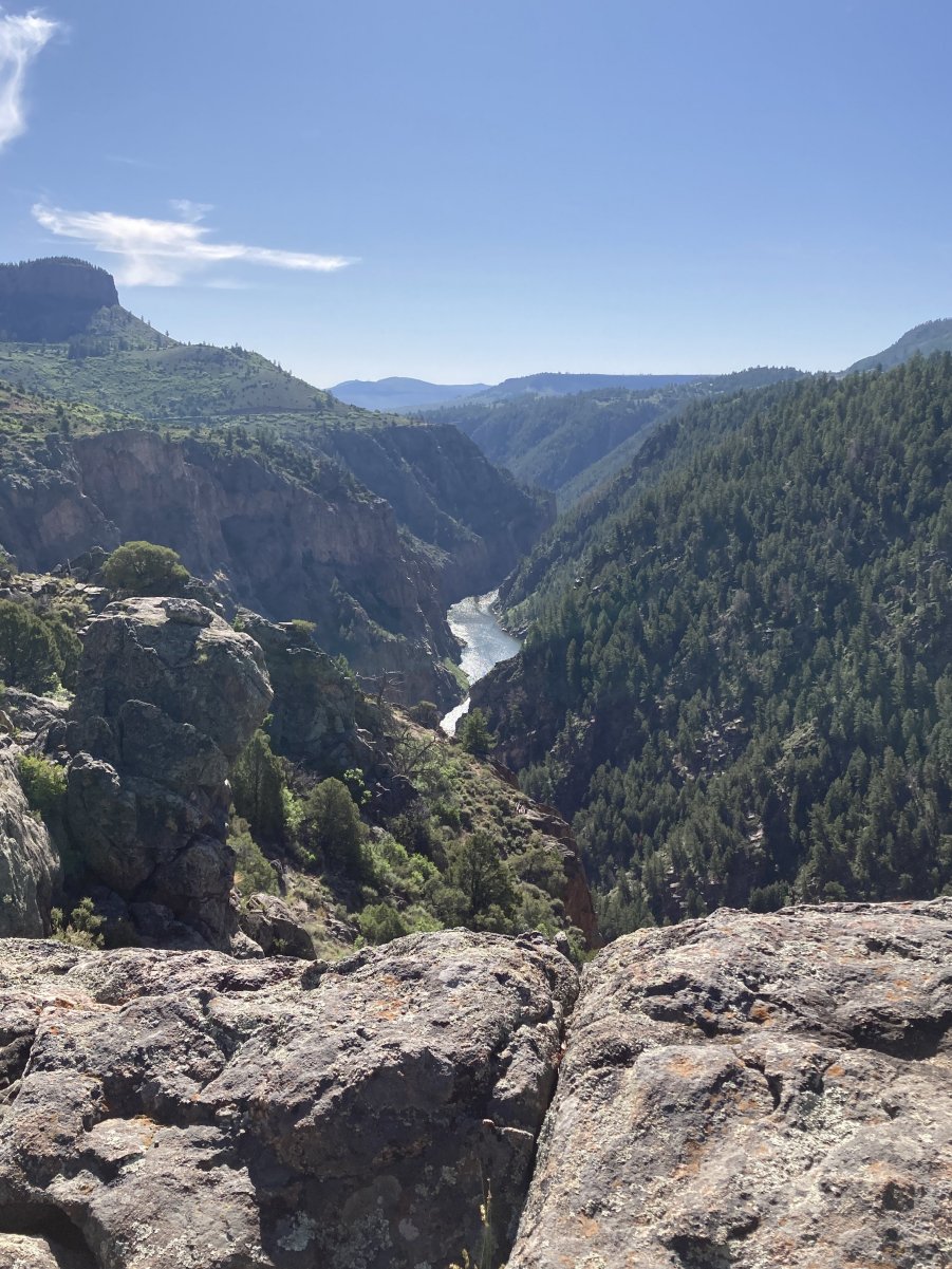
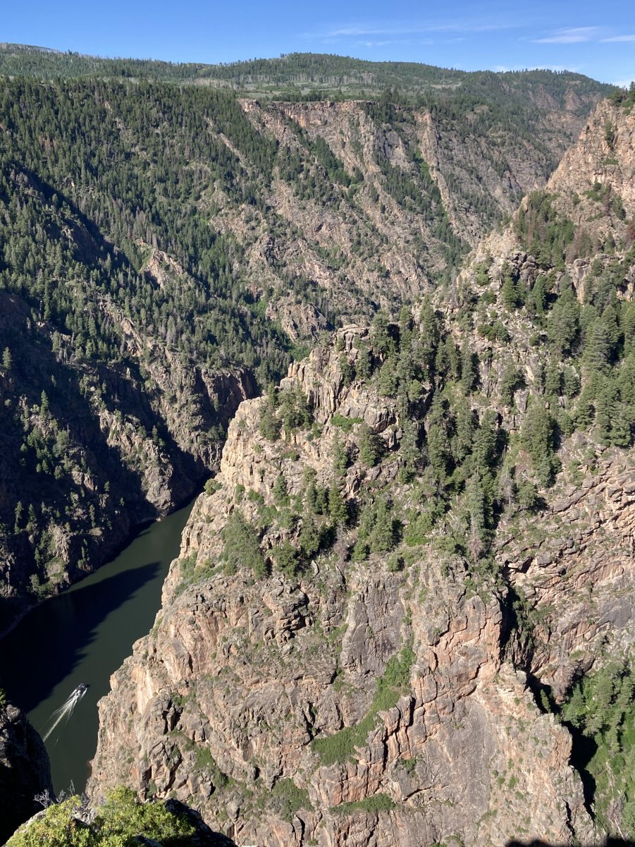
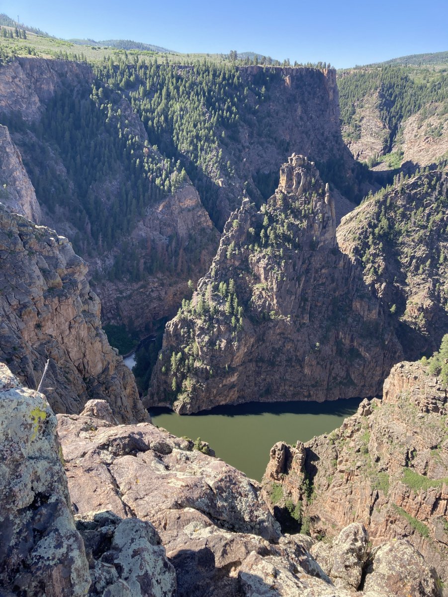
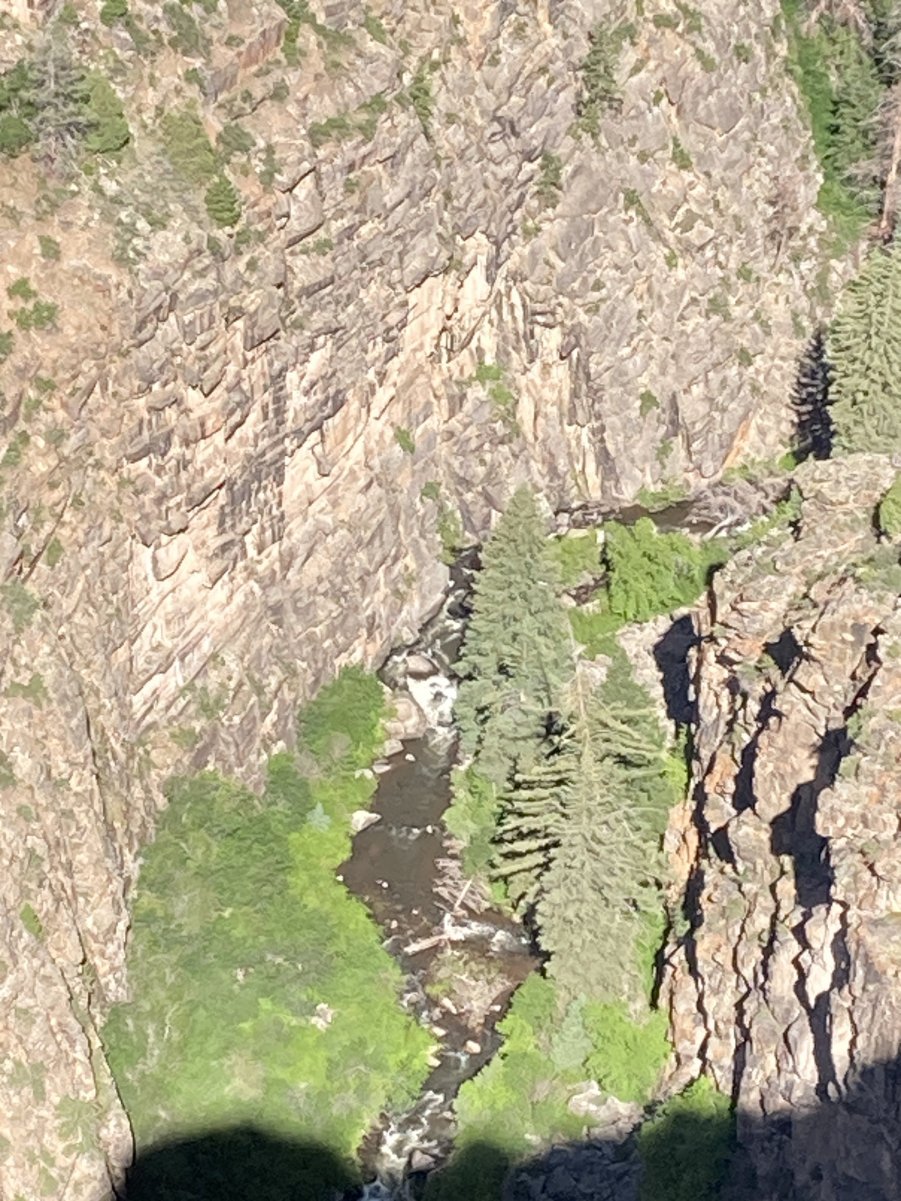
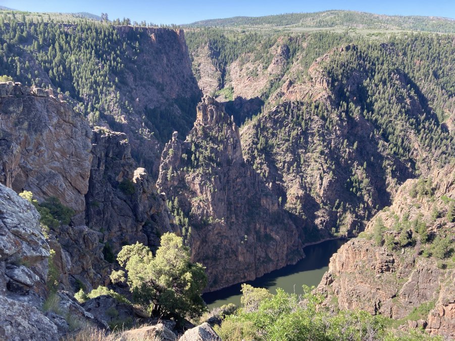
Colorado’s West Elk Scenic Byway (CO 92/133) was the route of the one-way,
full-day field trip to a Black Canyon of the Gunnison overlook, the coal
company town of Somerset and its current West Elk Mine, Marble and its
famous stone quarry, and the historic Colorado Fuel and Iron Company (CF&I)
model coal/coke company town of Redstone.
And, it may be hard to believe upon arrival, but Gunnison and Marble
are both in Gunnison County (political, not common sense, boundaries!).
Leaving Redstone at the end of the tour, accommodations may be found at the
Redstone Inn or to the north on CO 133/82 in Carbondale, Glenwood Springs,
or Aspen. In Glenwood, I-70 can
be accessed to Denver and Grand Junction.
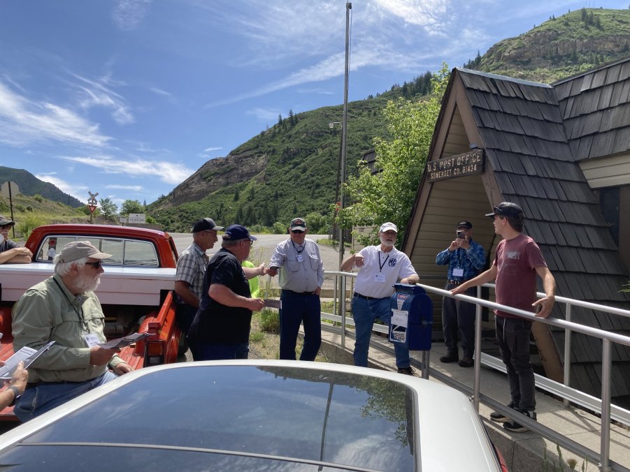
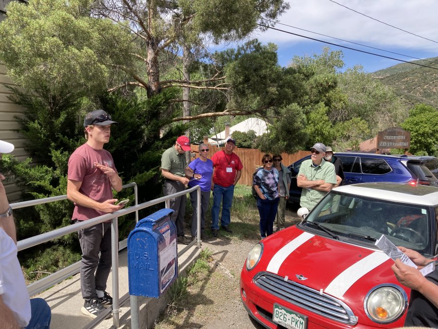
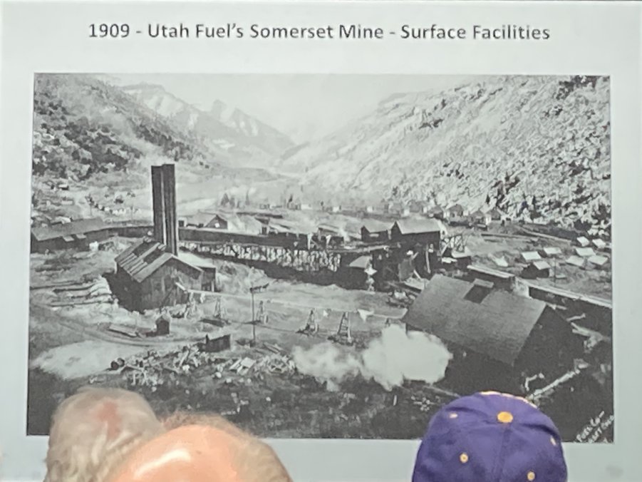
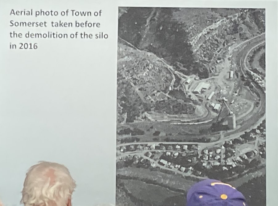
The coal
town of Somerset had been owned by Kaiser Steel, US Steel, and several coal
companies before the company-owned houses were sold to employees in the
1960s. The Oxbow Mine, owned at
the time by Koch brother, Bill Koch, closed in 2013, but retained ownership
of the town water district. Now
the company plans to close the water district because it failed state
drinking water standards, leaving the 71 town residents with hauling water.
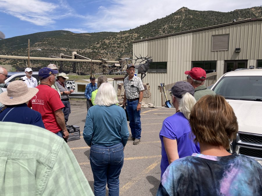
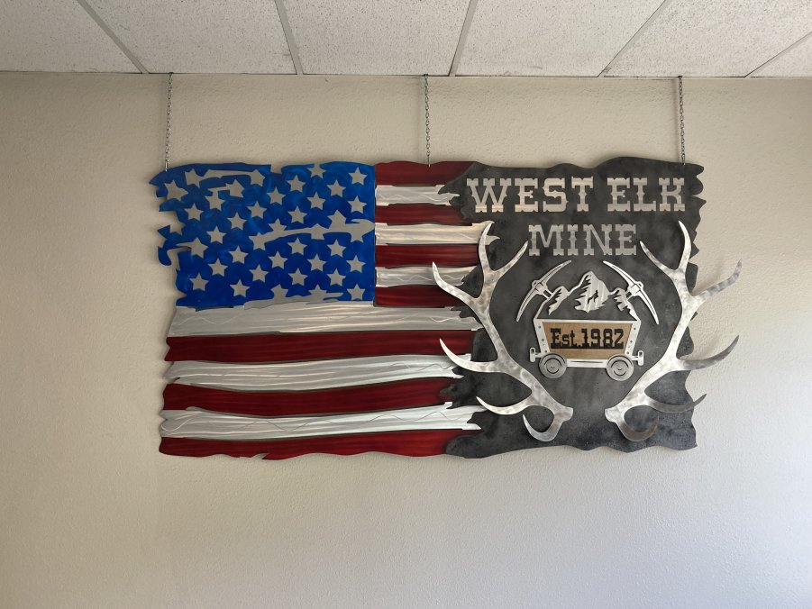
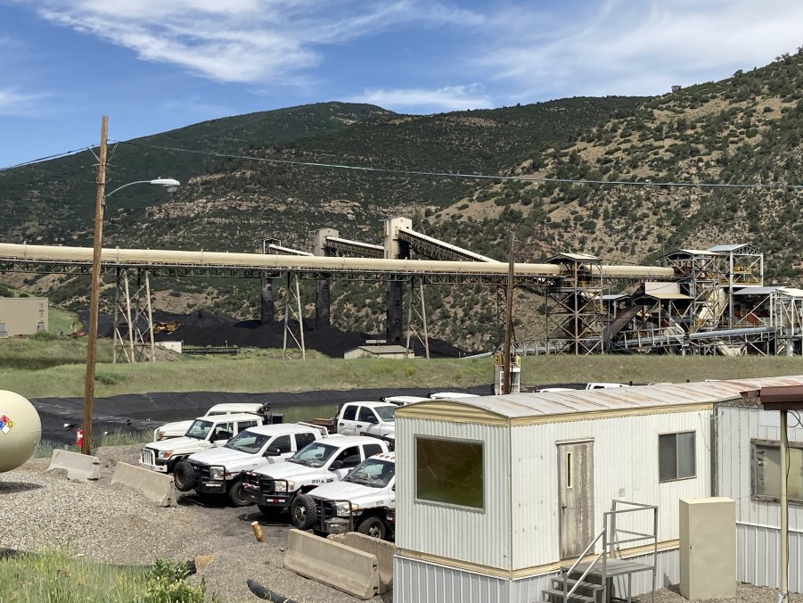
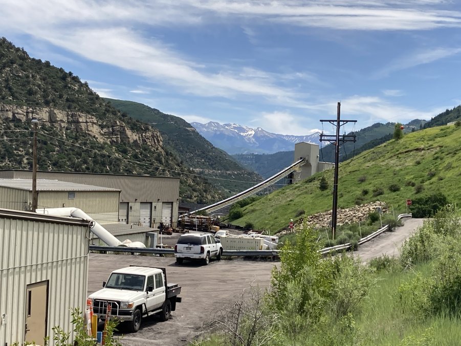
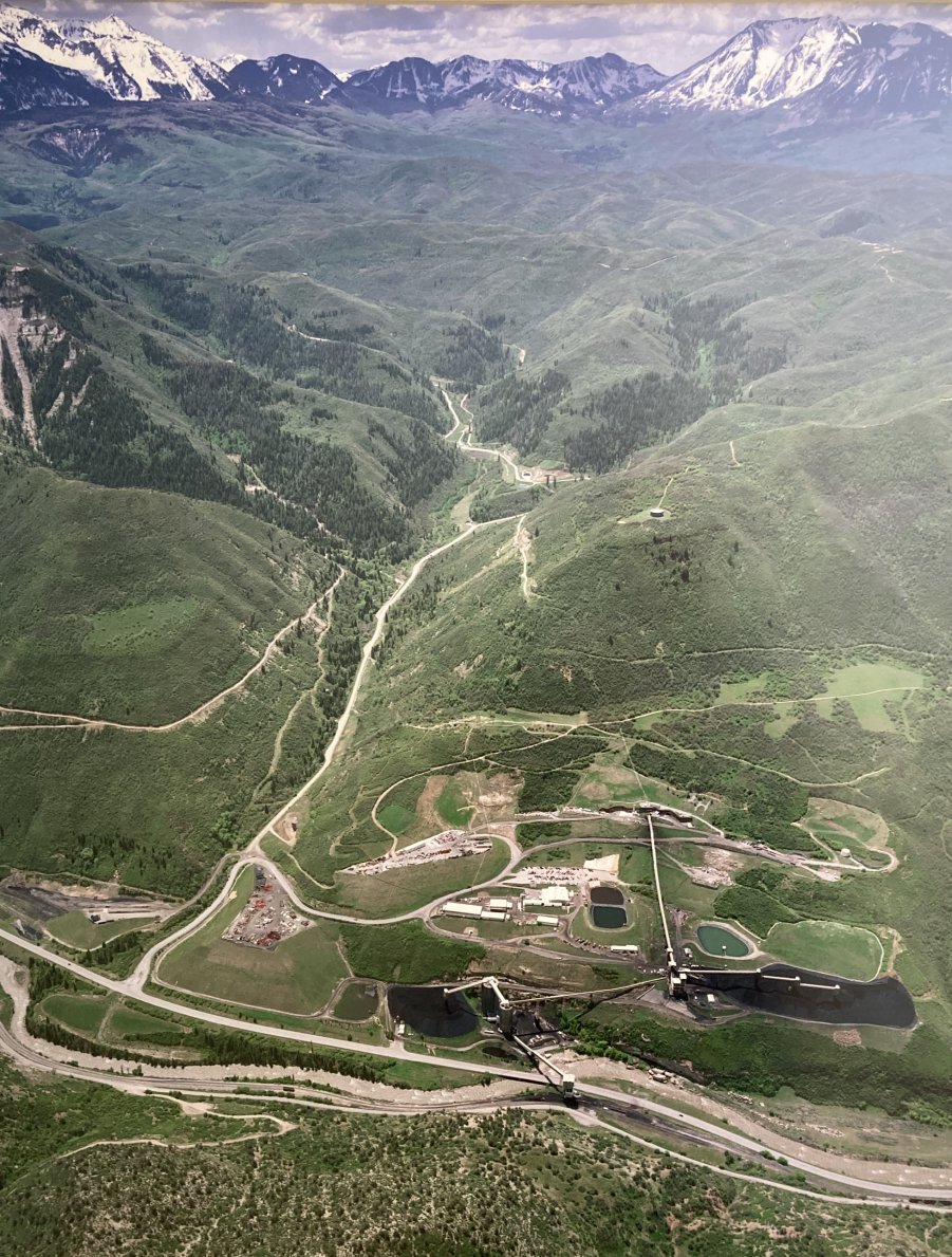
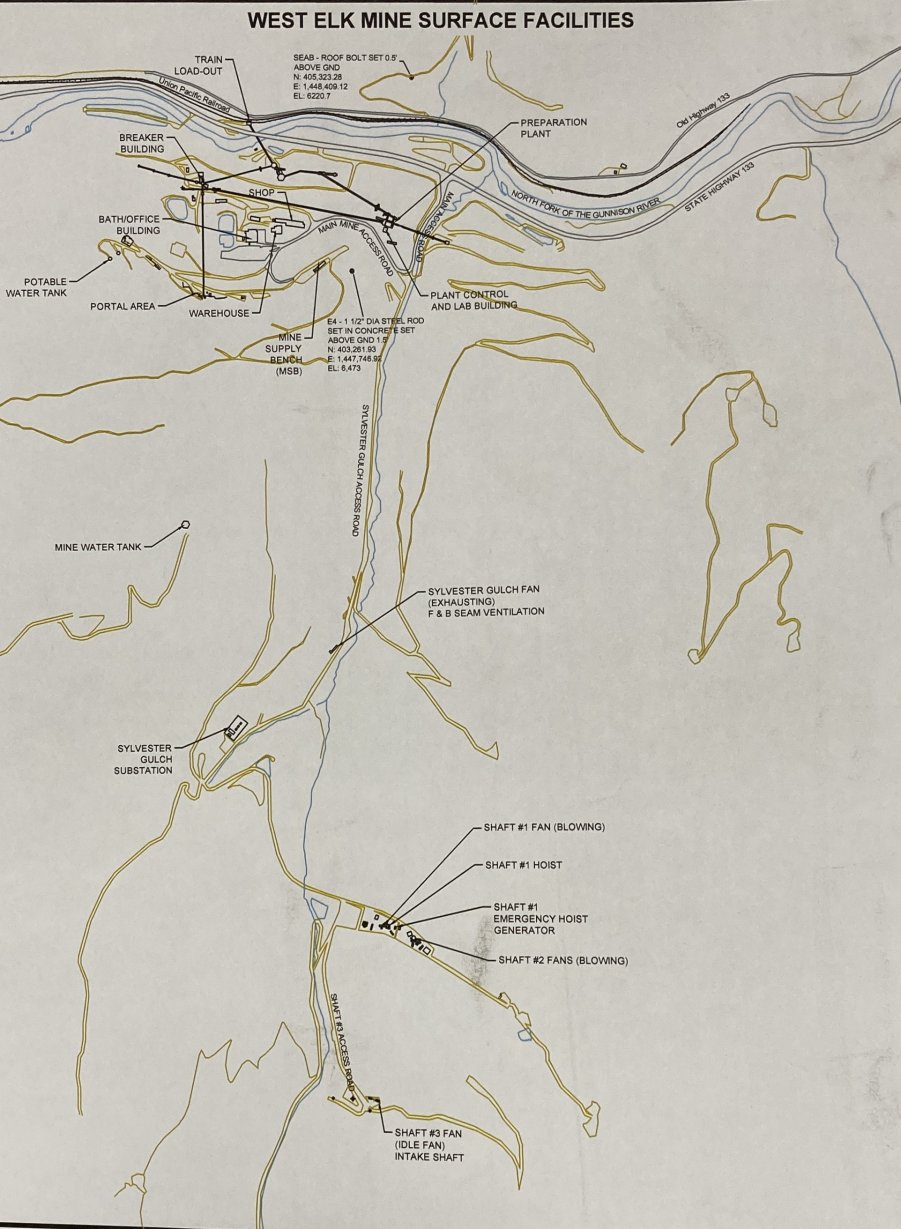
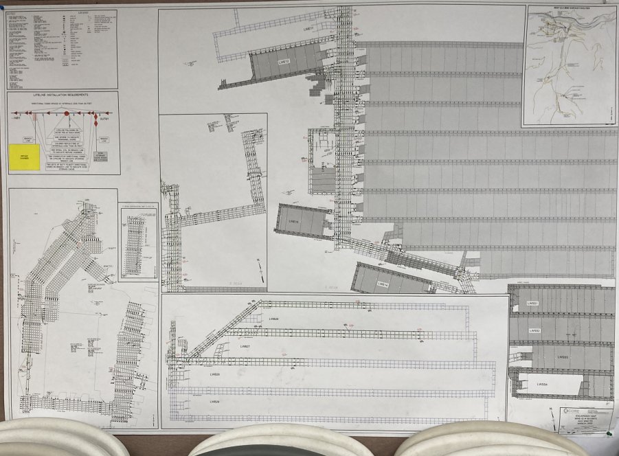
Fortunately for local miners, Core Natural Resource’s West Elk Mine
opened just east of town in 1982 with a workforce of 250-300.
This underground, longwall mine, now Colorado’s largest, produces 4.6
million tons/year of high-BTU thermal coal for export.
The white
marble of the Elk Mountains was first discovered in the 1870s, but the
historic Yule Quarry did not open until 1905.
The quarry received the contract for the Lincoln Memorial stone in
1917 and the Tomb of the Unknown Soldier in 1931.
An electric tramway brought the marble blocks from the mine to the
world’s largest marble finishing mill along the tracks of the Crystal River
& San Juan Railway. The tram was
so steep that the mine owner, Col. Channing Meek, formerly VP of CF&I, was
killed in 1912 when he jumped from a runaway tram car. The mill was
destroyed by an avalanche in 1912 and a fire in 1925, but rebuilt each time.
However, due to the Depression and WWII, the quarry and mill closed
and the equipment was sold for scrap in 1941.
The quarry, now owned by the Italian parent company of Colorado Stone
Quarries, reopened in 1990, but the new marble finishing plant was built in
Delta, Colorado.
The 1901
company town of Redstone was the brainchild of CF&I owner John Cleveland
Osgood. Due to labor unrest in
other coalfields, he decided to create a “show model” company town along the
east bank of the Crystal River for his 200+ coking plant workers (miners
lived 8 miles west and 3,000’ up a steep grade in “Coaltown”).
He also constructed his personal home, “Cleveholm Manor”, and a
gamekeeper’s cottage a mile south of Redstone.
Redstone contained a long street of Craftsman-style single-family
homes with yards for a garden and cow, a large boarding house for single
workers, a school, a volunteer fire house, and a company store, complete
with company scrip. Now, the
boarding house is the Redstone Inn, the miner’s lamphouse is the history
museum, the town is a national historic district, and the abandoned coke
ovens have been restored.
(This
description is adapted from the original by Steve Hart, 2024.)
| ||||||||||||||||||||||
Photos courtesy of Mike Kaas CLICK HERE FOR GALLERY 2 CLICK HERE TO RETURN TO THE GUNNISON MEETING PAGE
|