•  

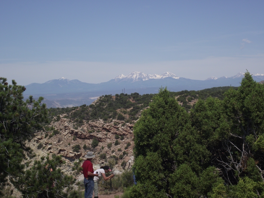
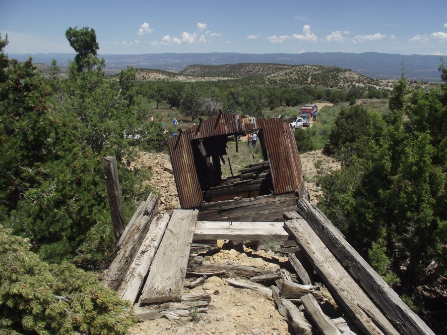
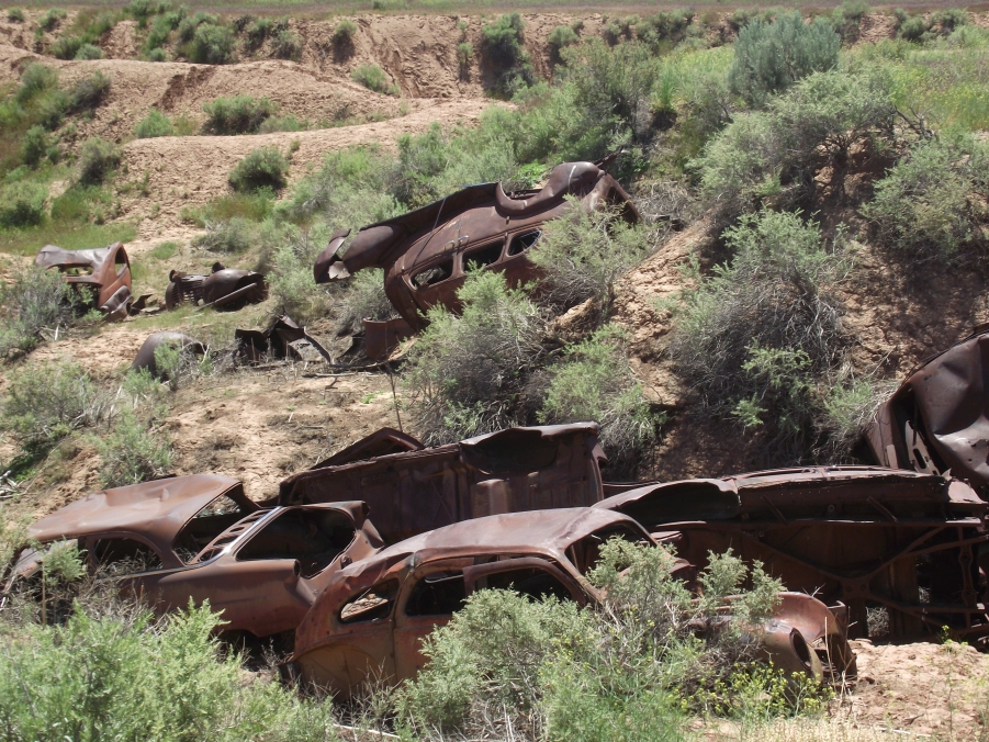
    2016 Mining History Association Tour


    Tours of the Colorado Plateau Uranium Country

    Sponsor: Rimrocker Historical Museum,
    Naturita, Colorado

    Tour Leaders: Jane Thompson and
    Sharon and Duane Johannsen

    June 9 and 12, 2016


    PHOTO GALLERY 3 of 10
     CLICK ON A PHOTO TO DISPLAY A LARGER IMAGE


    Tour leader, Sharon Johannsen (center), chats with one of the MHAers and one our jeep drivers during the lunch break.

    An overlook provided the MHAers with a

    picture perfect view of the snow capped

    La Sal Mountains to the west on the

    Colorado-Utah border.

    This well preserved set of ore bins and trestle served the Republican Mine.


    (A hoist may have been located in the steel portion of this structure at the Republican.

    A trackway appears to lead to an adit or incline in the hillside behind the trees.  The uranium deposits occurred in the sandstone formations and were lenticular and irregular in shape.  When close to the surface they were accessed by an adit or incline. CLICK HERE to see a map of one such mine near Uravan. (W. L. Dare, USBM, 1960)


    The trackway appears to lead to toward the structure where the mine hoist was probably located.  Waste rock was disposed on the nearby mine dumps while ore cars were sent down a separate track to the ore bins.


    Left to right) MHAers Bob Otto, Diane Loughlin, Susan and Mike Canty are all smiles.  Is it the success of the field trip or perhaps because they are sitting in the shade?


    More signs of past activity are these abandoned 1940s-era cars.  They may have been placed in the gully to slow erosion.


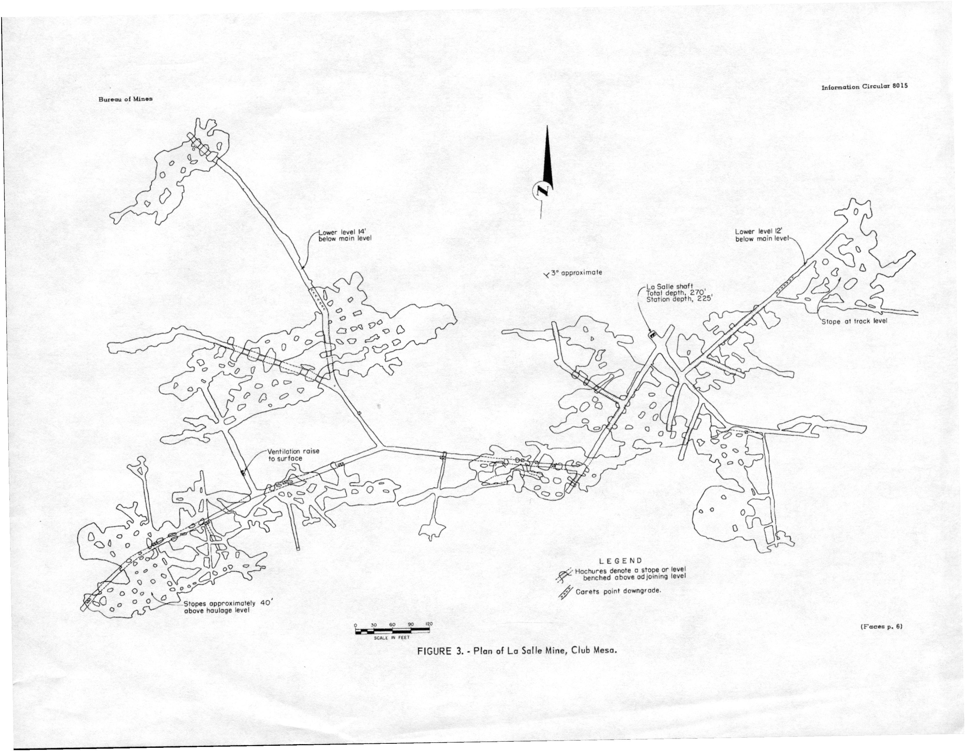
    Photos courtesy of Mike Kaas

    CLICK HERE FOR PHOTO GALLERY 4


    All contents copyright 2011. This is a ZStudios website.