Menominee Iron Range Iron River, Iron Mountain, and Vulcan, Michigan Tour Leader, Mark Langenfeld June 9, 2019
PHOTO GALLERY 5 of 5
CLICK ON PHOTOS TO ENLARGE
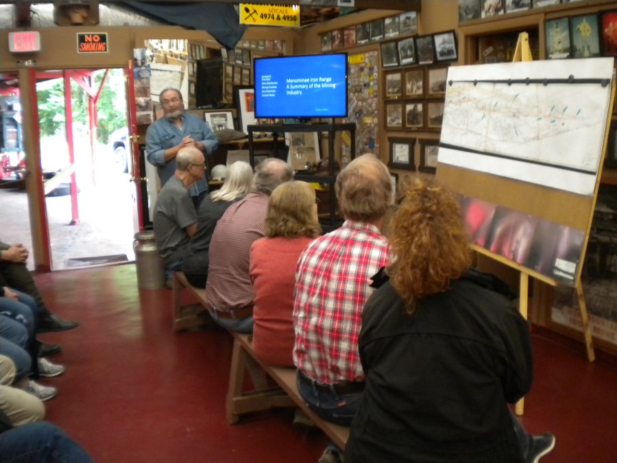
STOP 4. At the Iron Mountain/East Vulcan Tour Mine, Geologist, Tom Mroz, describes the geology and mining practices in this part of the Menominee Range.
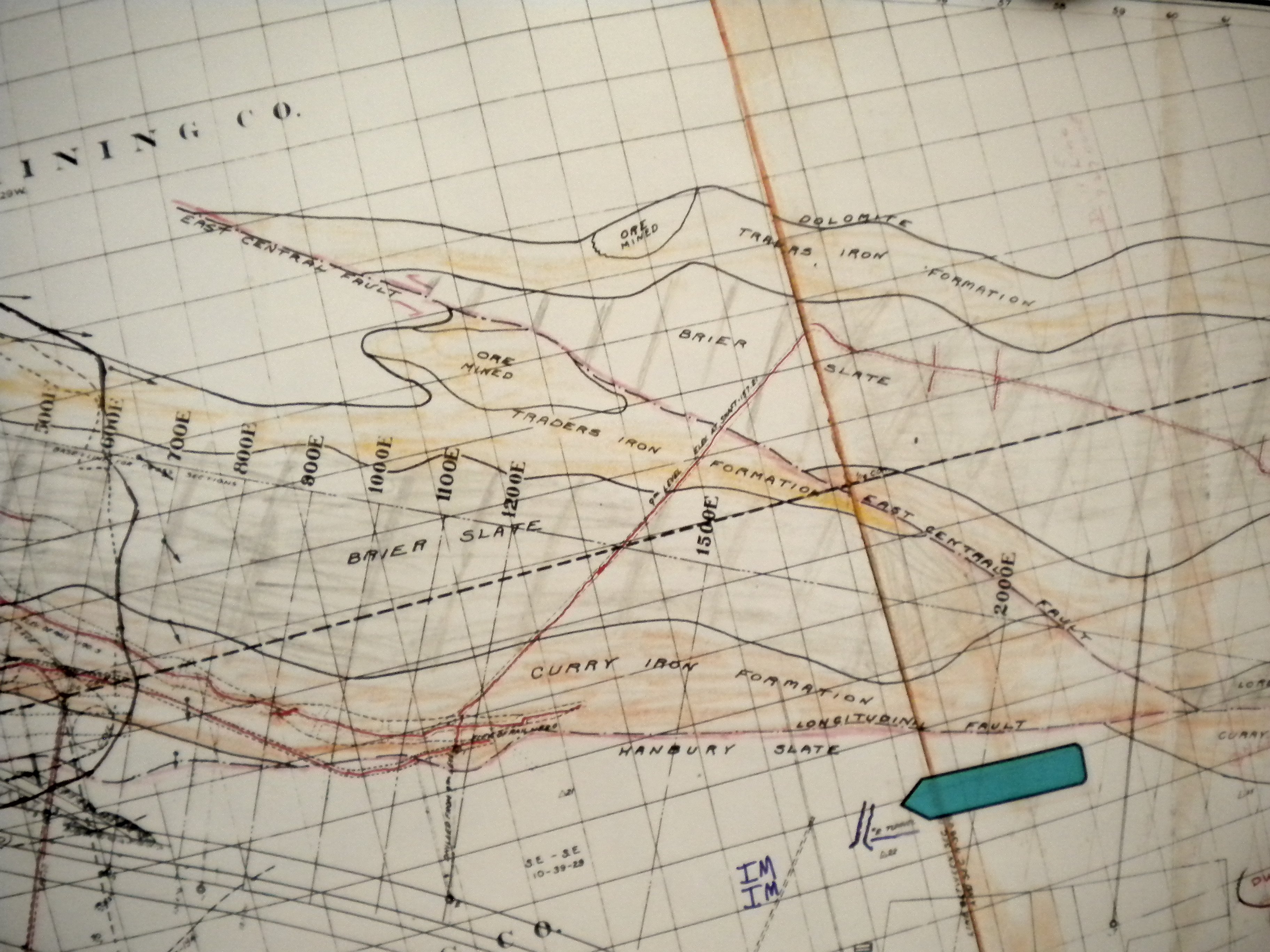
His maps showed the various mine locations extending from Iron Mountain at the west, to the village of Norway and the East Vulcan Mine to the east.The mine tour goes underground at the blue arrow and explores the workings leading to the two stopes at the top center marked “Ore Mined.”
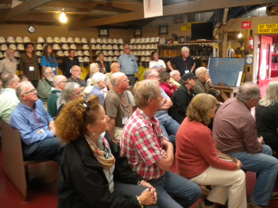
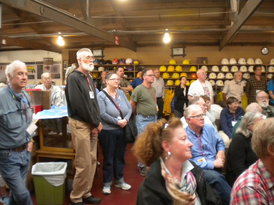
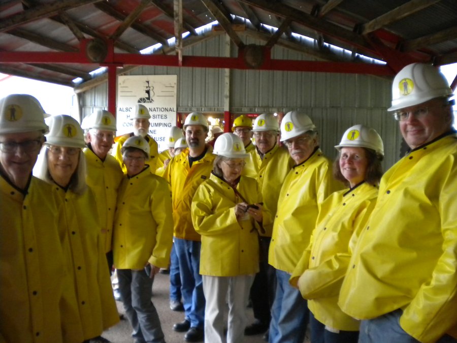
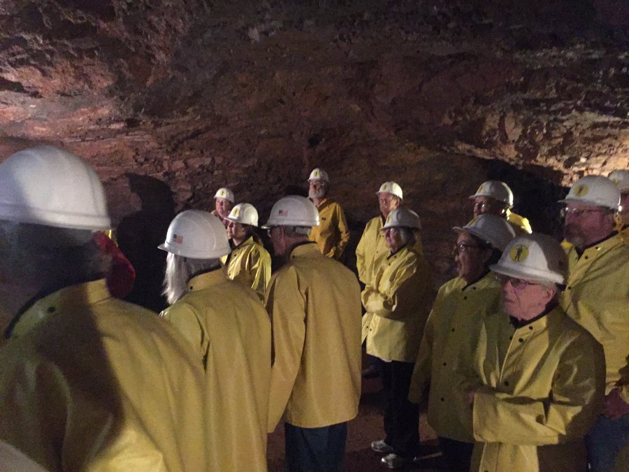
The MHAers listen attentively before donning the hard hats and jackets for the tour.
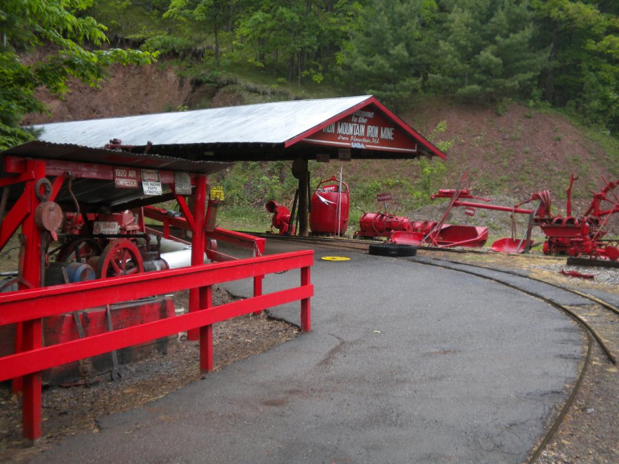
Many types of mining gear are on display on the way to the mine train loading point.
MHAers waiting for the “man trip.”Female miners are eagerly accepted onboard.
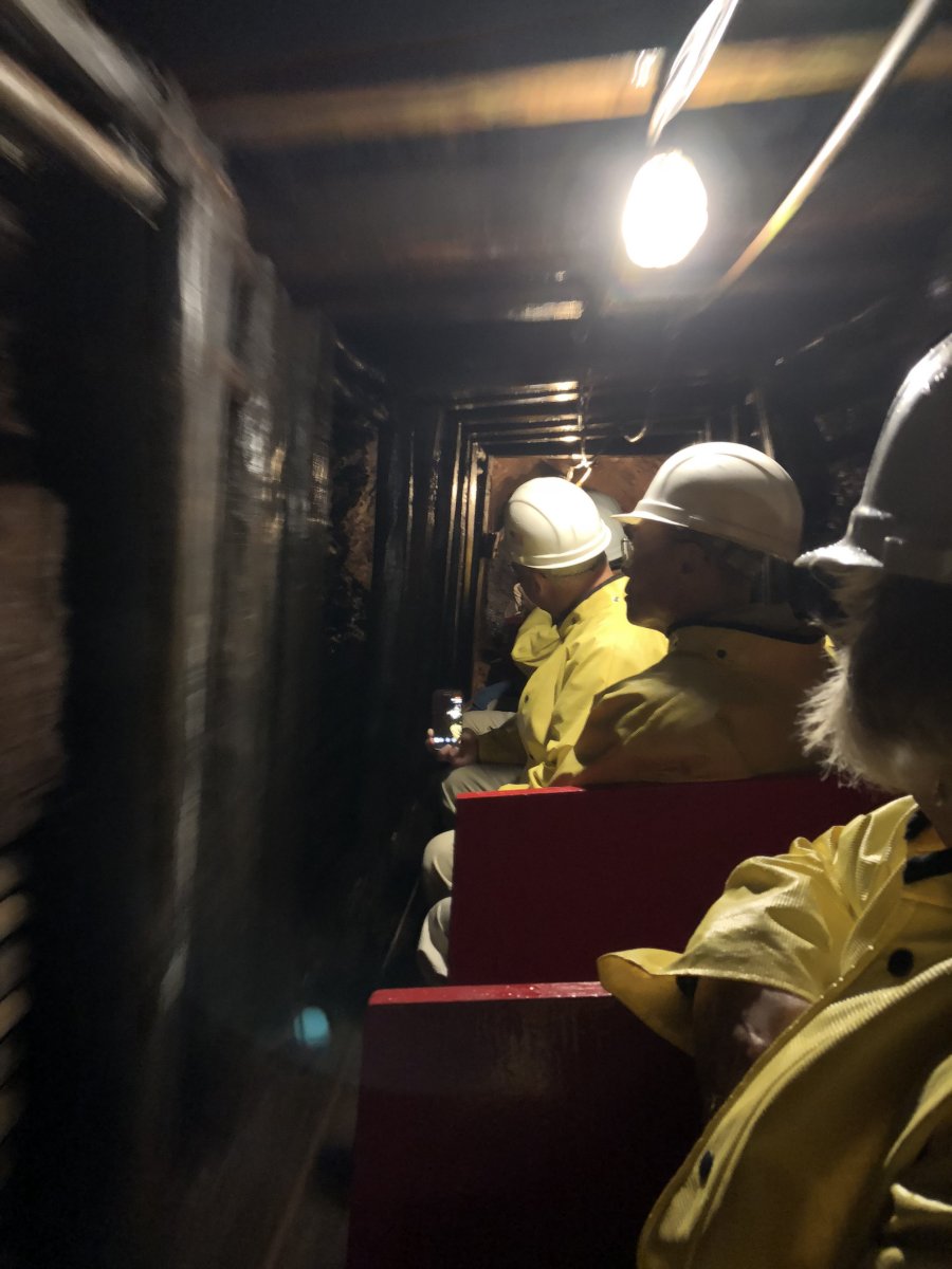
(Above) It is tight sideways seating on the narrow gauge mine train.
(Right)The old timers kept the drifts (tunnels) narrow because of the high cost of mining the waste rock.Heavy timbering was used in unstable areas containing faults.
After walking through a series of drifts and crosscuts, we arrived at the first mining area called “The Small Stope.”
While looking into the stope, our Guide turned out the electric lights just to remind everyone how much light can be given off by miners' candles or carbide lamps, when there is no other source of light available.
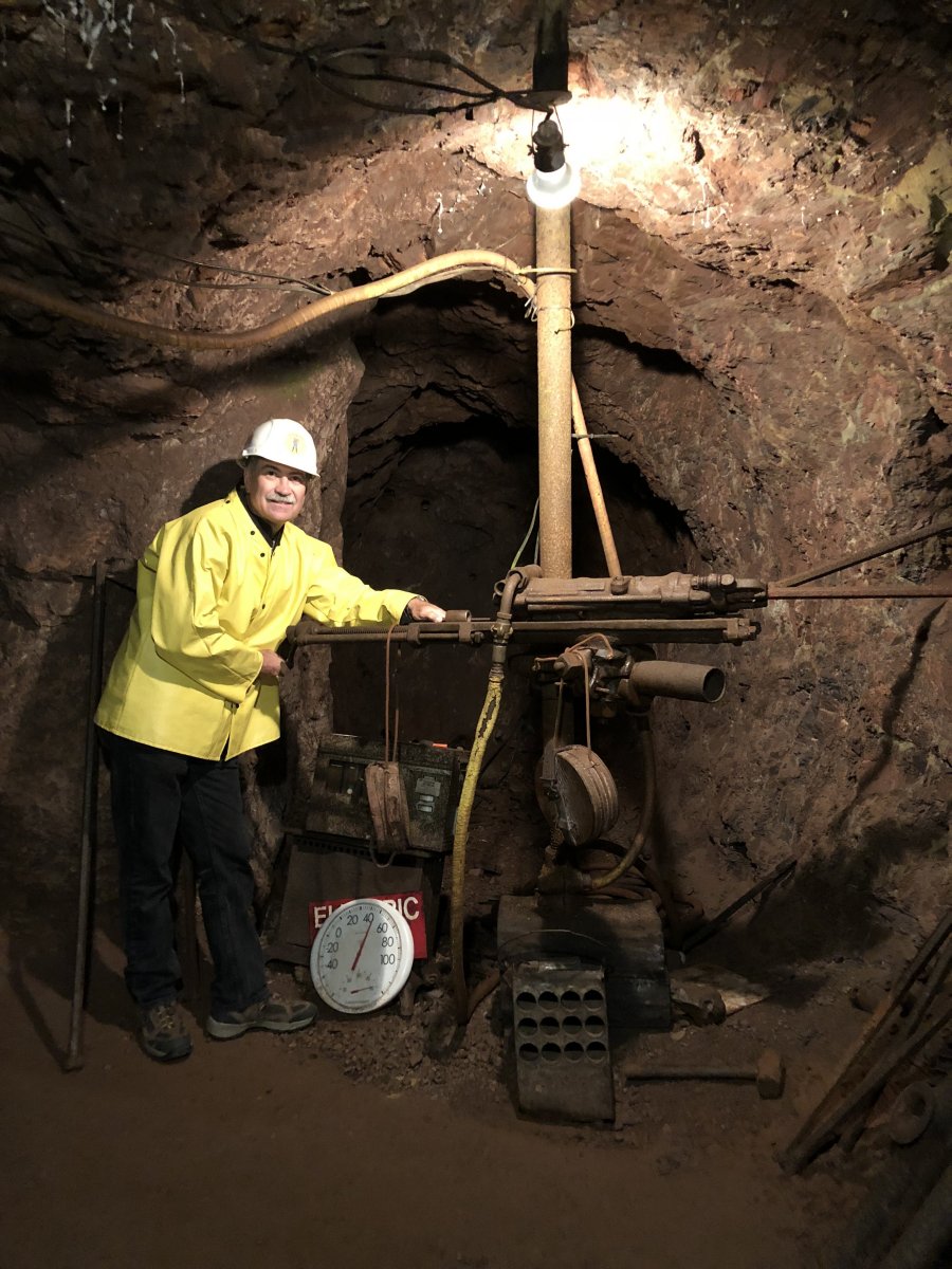
(Left)Johnny demonstrates the compressed air driven drill.Note the box on the floor for carrying and thawing sticks of dynamite.The sledge hammer and drill steel were used for single and double jacking (hand drilling).
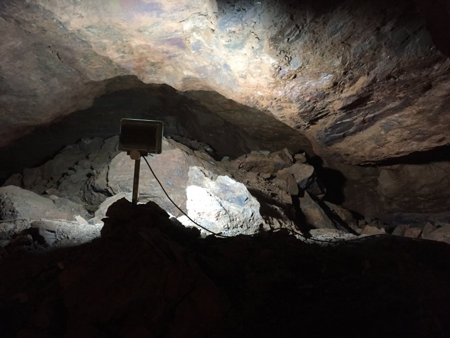
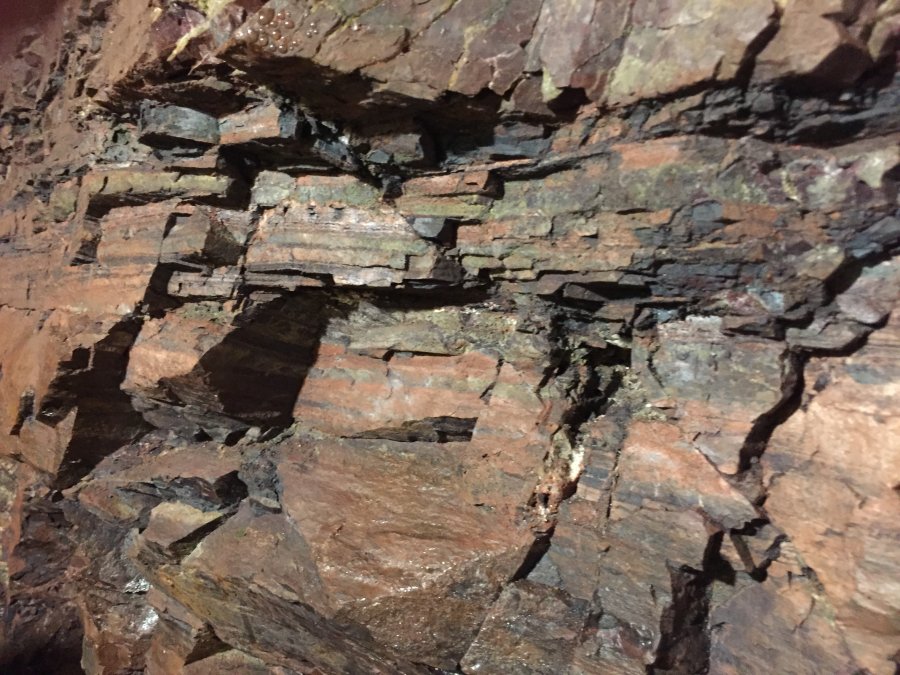
(Above)It looks like the slate enclosing the iron ore was pretty hard.
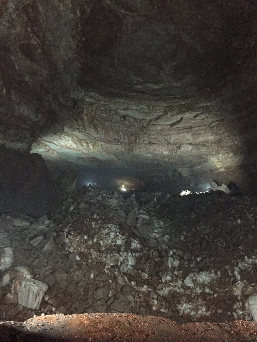
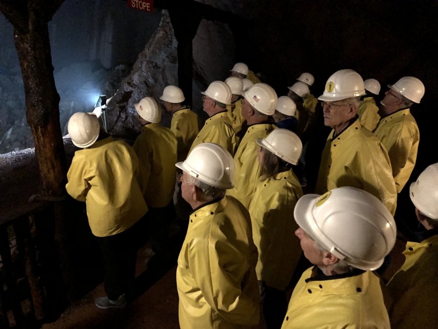
(Left) “The Big Stope” illustrates the large size of some of the underground workings.The image of “Big John,” the Vulcan Mine’s mascot at the far end of the stope is nearly 1000 feet away.The ore extended about1200 feet below this level.
(Above) The MHAers gaze upward where the back (roof) of the stope has already caved.Fortunately, the viewpoint is in solid rock.
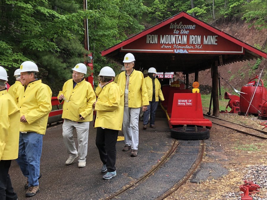
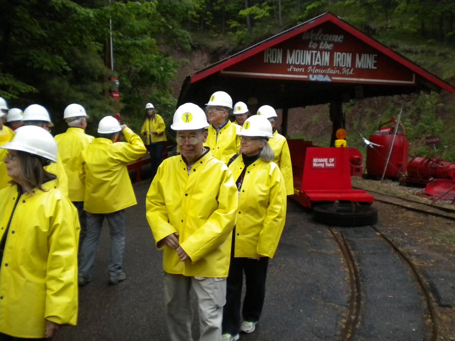
(Below) Shift over.Everyone is back on the surface.All present and accounted for!
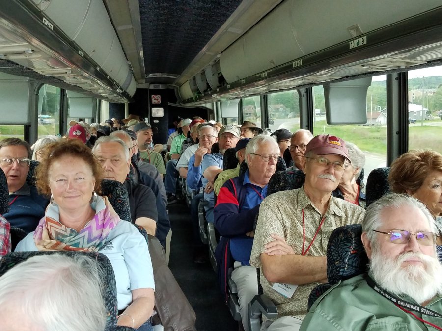
MHAers on the Menominee Range Tour bus really got to see a good portion of the scenic Upper Peninsula and a lot of mining history.BUT WAIT THERE WAS MORE…
As we passed near Republic, MI, while returning to Marquette, those on the right side of the bus got a fast glimpse of a moose. The excitement was so overwhelming that nobody took a photograph. (Courtesy wikiclipart.com)
Photos Courtesy Dawn and Johnny Johnsson, Mark Langenfeld, Pat and Mike Kaas.