Northern Hills Tour - Coeur-Wharf Mine Gilt Edge Mine Site, and the Historic Mining Town of Galena June 10, 2018
PHOTO GALLERY 3 of 4
CLICK ON PHOTOS TO ENLARGE
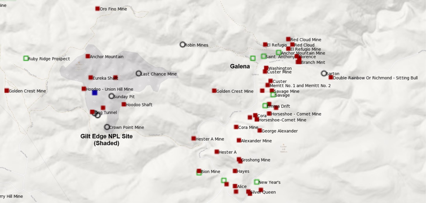
This map of mine locations shows the second and third stops on the tour.The Gilt Edge mining area is the shaded area shown in the left half of the map.Mining started in this area in the 1870s.After a hiatus in the 1900s, mining resumed in 1987, this time using surface mining and heap leaching.Environmental problems caused mining to cease in 1999. The site was listed on the National Priorities List (NPL, AKA Superfund) in 2000.
The historic mining town of Galena in located in the upper portion of the North-South trending series of mines in the right half of the map.These mines were primarily silver producers. (USGS, MRDS-MILS data, annotations by Kaas)
The Gilt Edge Mine site includes a number of historic underground operations including the Gilt Edge itself, Hoodoo, Rattlesnake Jack, Oro Bella, Crown Point, Iron King, Anchor Hill, etc.Recent mining has left a series of open pits at several of the older mine locations.
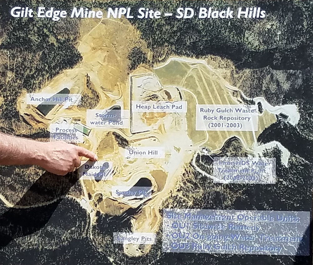
A close-up of the NPL site map shows the main areas where reclamation is already underway or is planned.
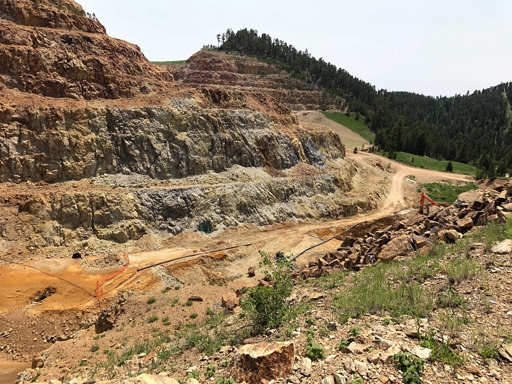
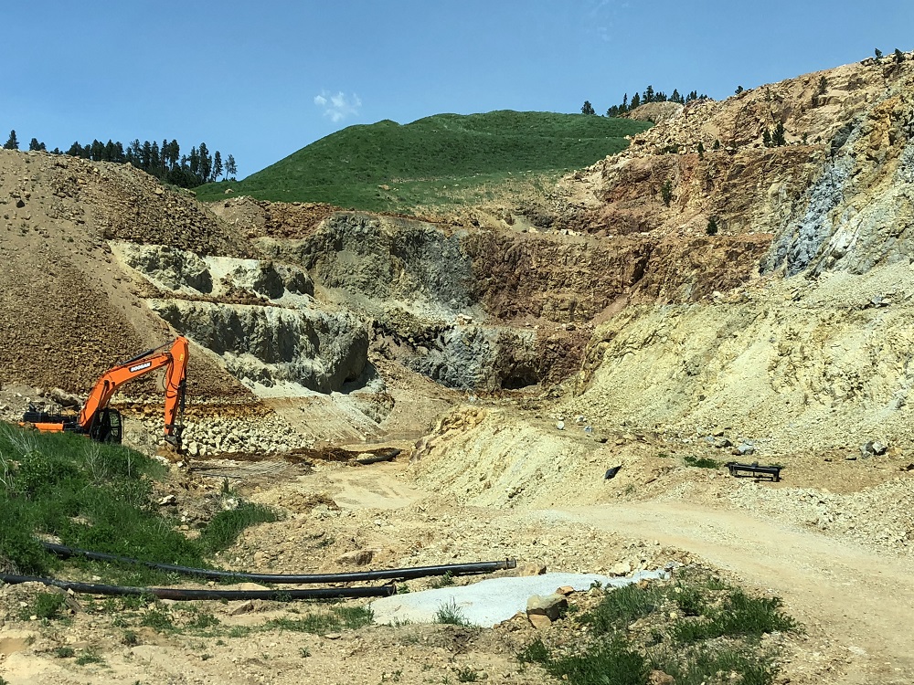
The Dakota Maid Pit was excavated during recent mining.It is being drained and the sludge removed to impoundment cells before it can be backfilled.
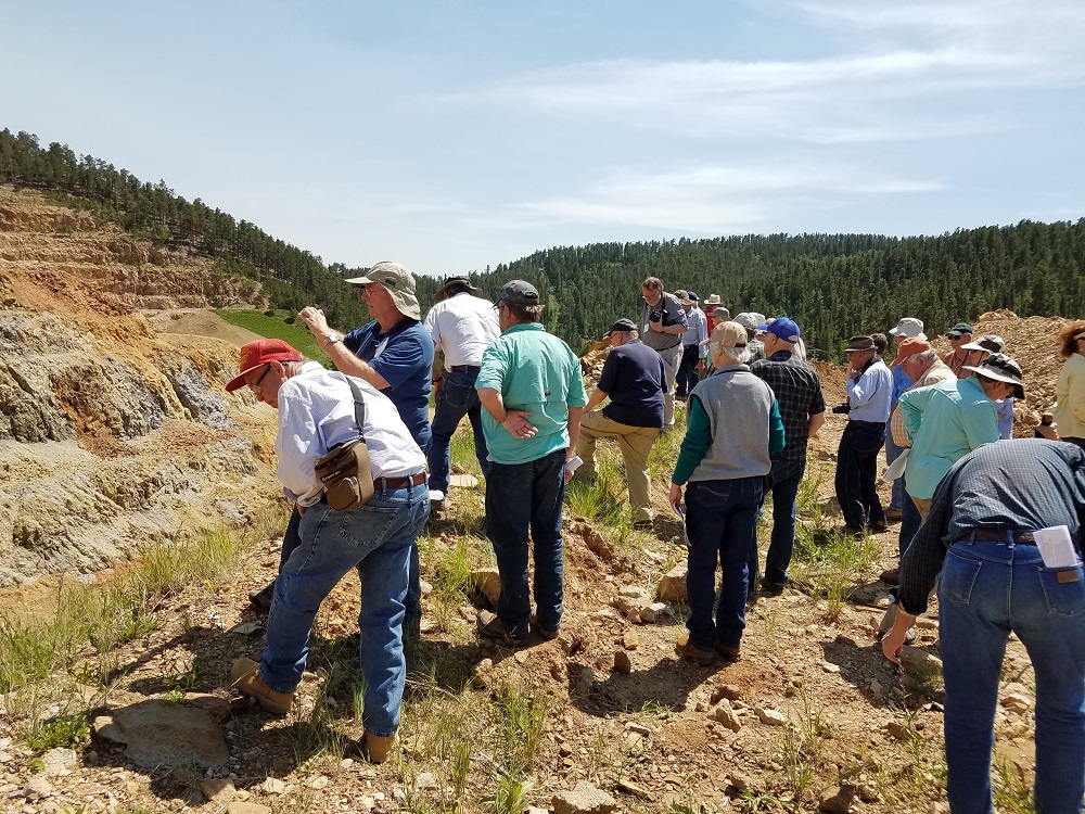
MHAers have a birds-eye view from the rim of the Dakota Maid.
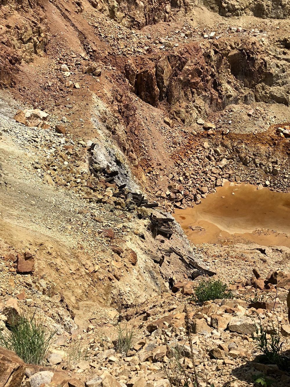
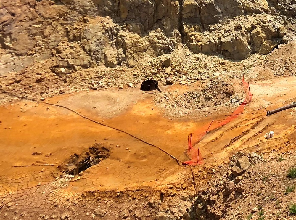
(Above) The orange fencing warns of old workings in the pit bottom that have collapsed.The hole at the lower left contains old square-set timbers in the stope below.
(Left) The pit wall contains more mine timbers, another indication that old workings are nearby.
(Above) More old workings are visible at the back end of this abandoned open pit.Old mine maps, when available, are used by miners and reclaimers to identify safety hazards in advance.
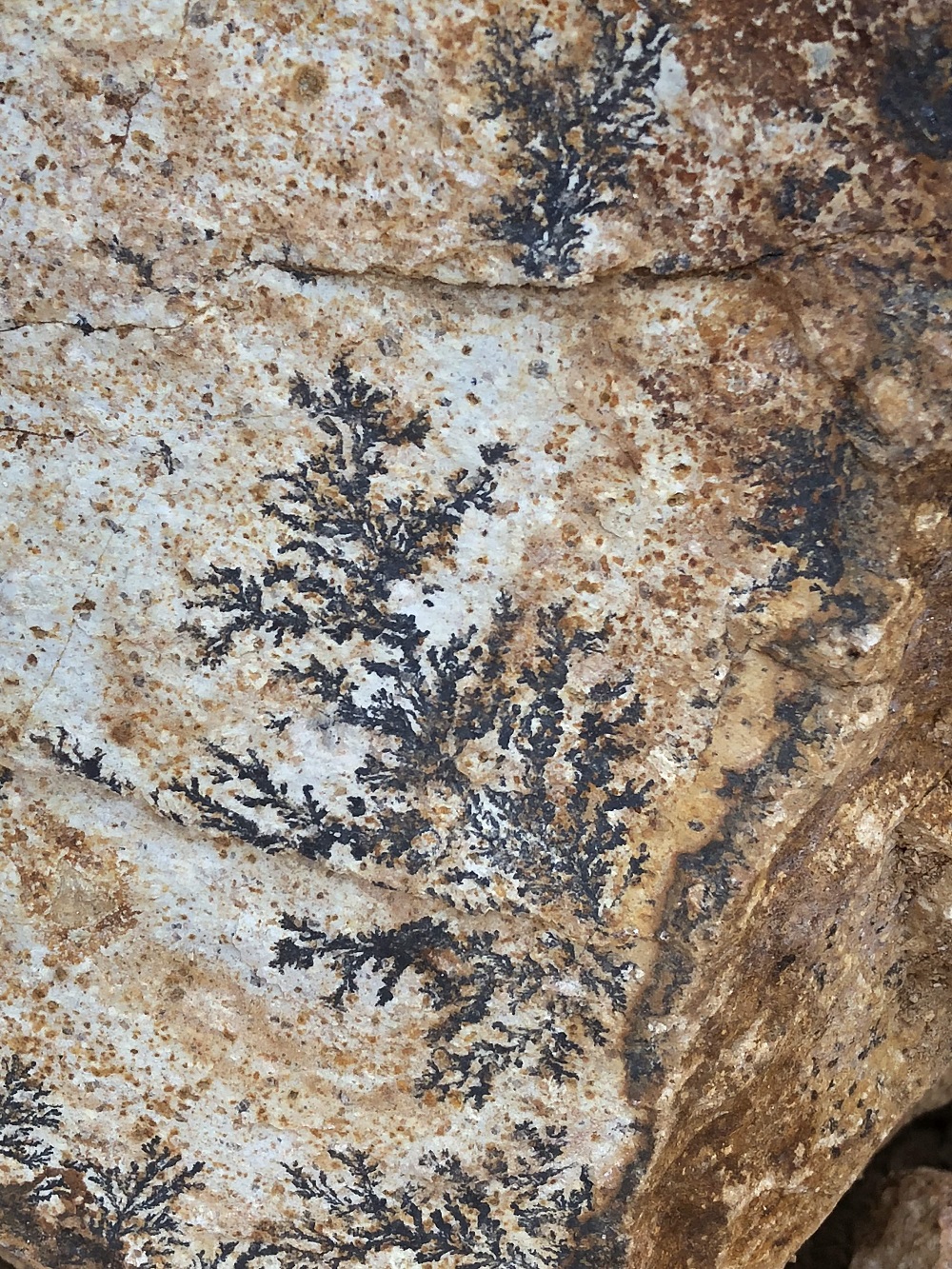
(Right) A rock exposure contains one of Mother Nature’s works of art.Fern-like dendrites are manganese deposits that occur along cracks in the rocks.
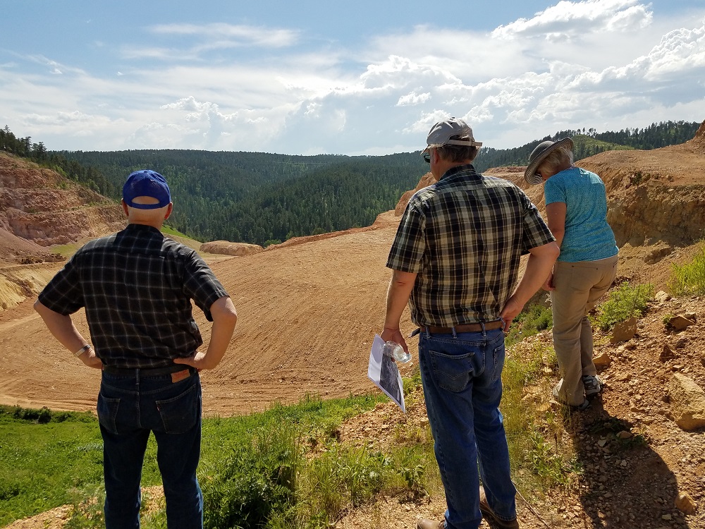
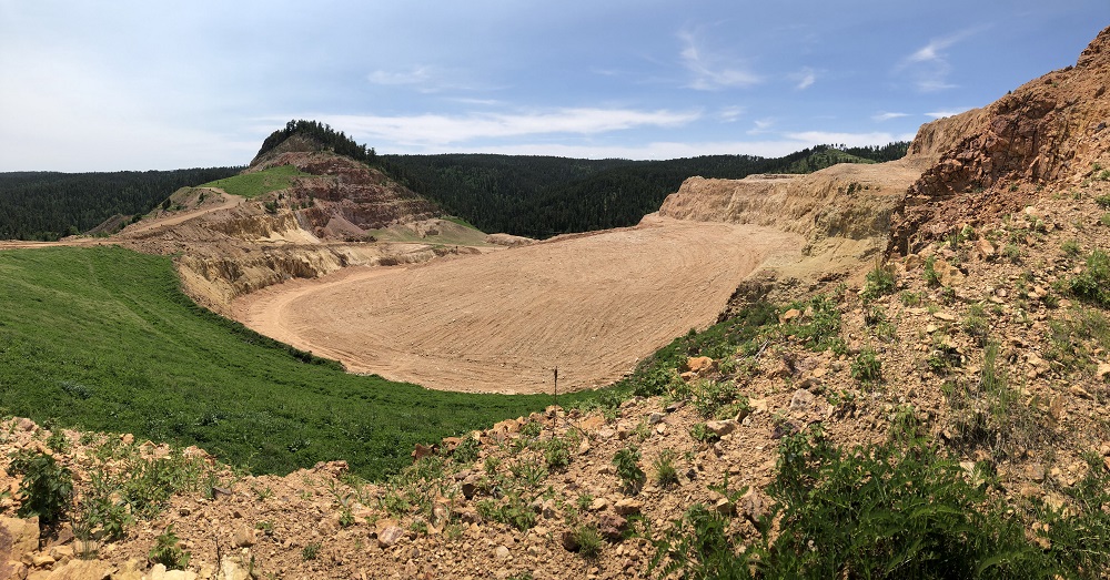
(Above and below) Backfilling of an abandoned pit has been completed.It will now be capped to prevent the inflow of water and air to prevent formation of acid rock drainage (ARD).The final surface will be revegetated.
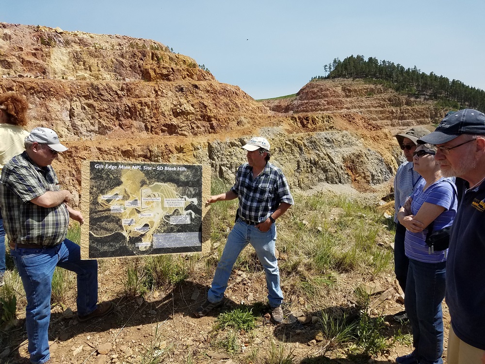
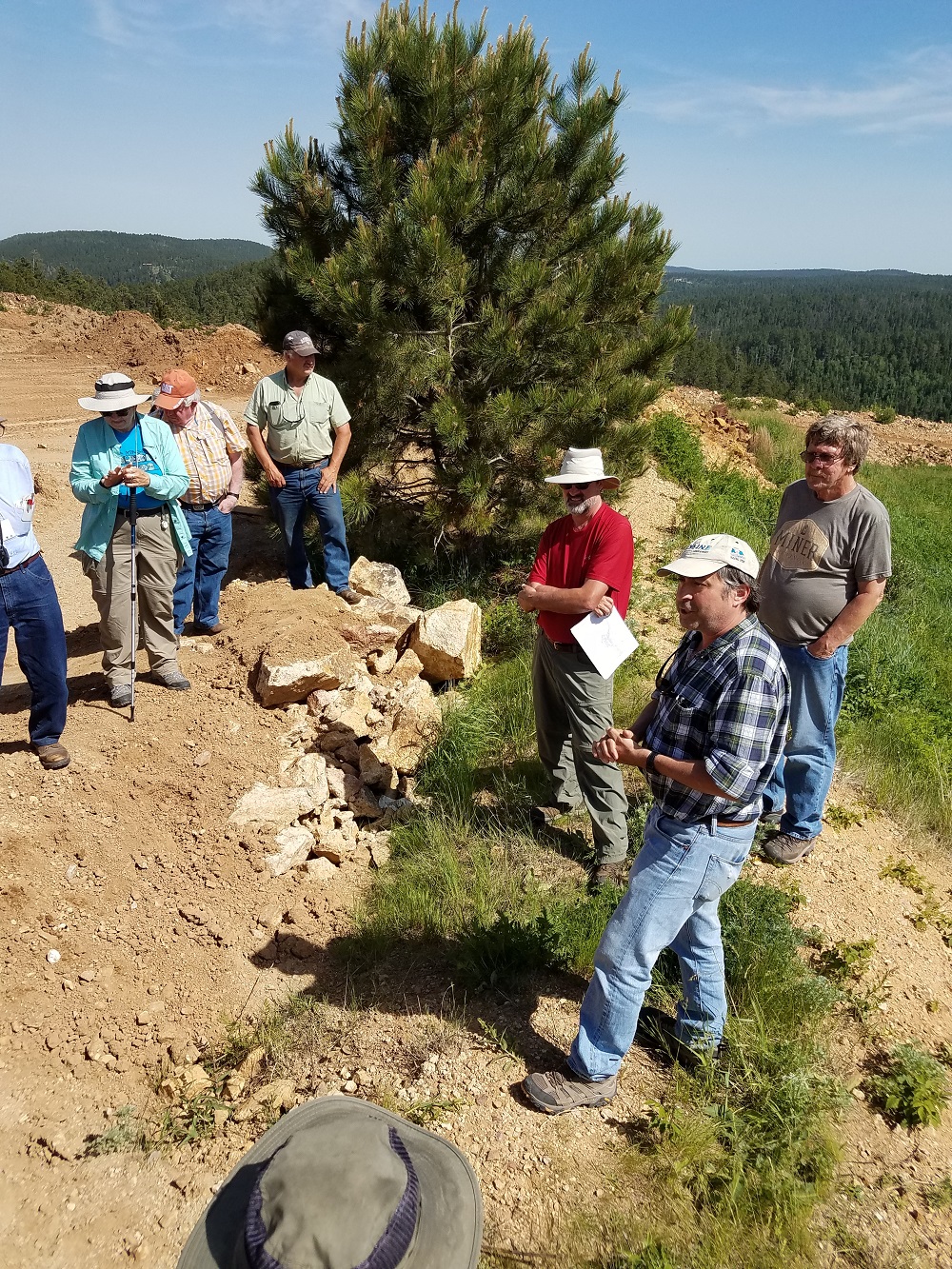
(Right) The MHAers discuss Superfund mine reclamation procedures with one of out hosts.
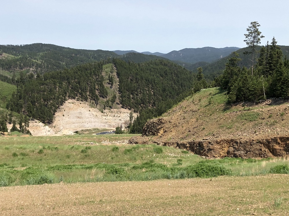
View down the capped Ruby Gulch Waste Rock Depository. It contains 20 million tons of spent ore from the old leach pad as well as waste rock.
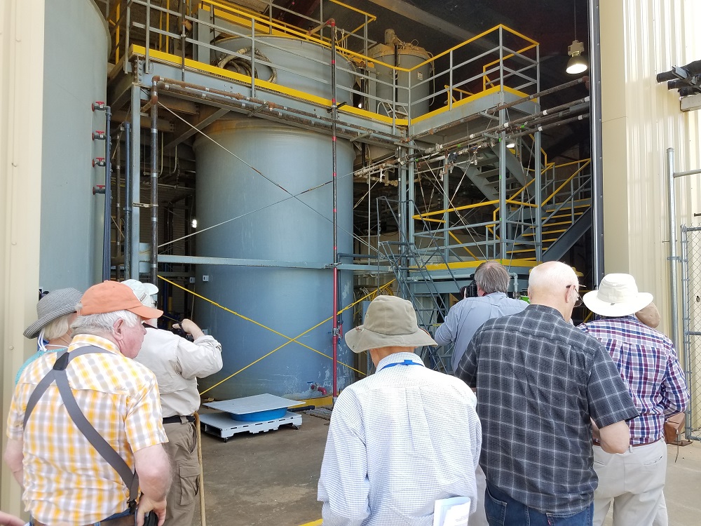
The water treatment plant uses lime to control the pH of any ARD before it can be safely disposed in Strawberry Creek.
(Photos Courtesy of Johnny Johnson, Mark Langenfeld, and Silvia Pettem,.